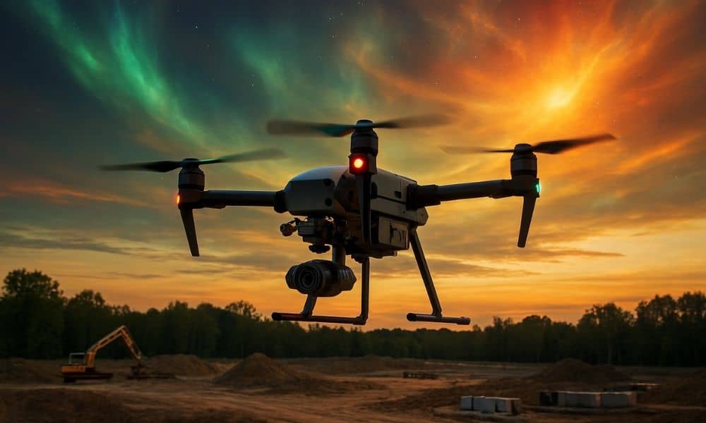
Solar Storms and GNSS: Drone Land Surveying Challenges

Drone land surveying is one of the most reliable tools for mapping land. Crews depend on it to collect accurate data fast, whether they are working on subdivision layouts, flood studies, or construction projects. But during the week of September 7–9, many local surveyors noticed something strange: their GPS signals kept dropping, their drones struggled […]