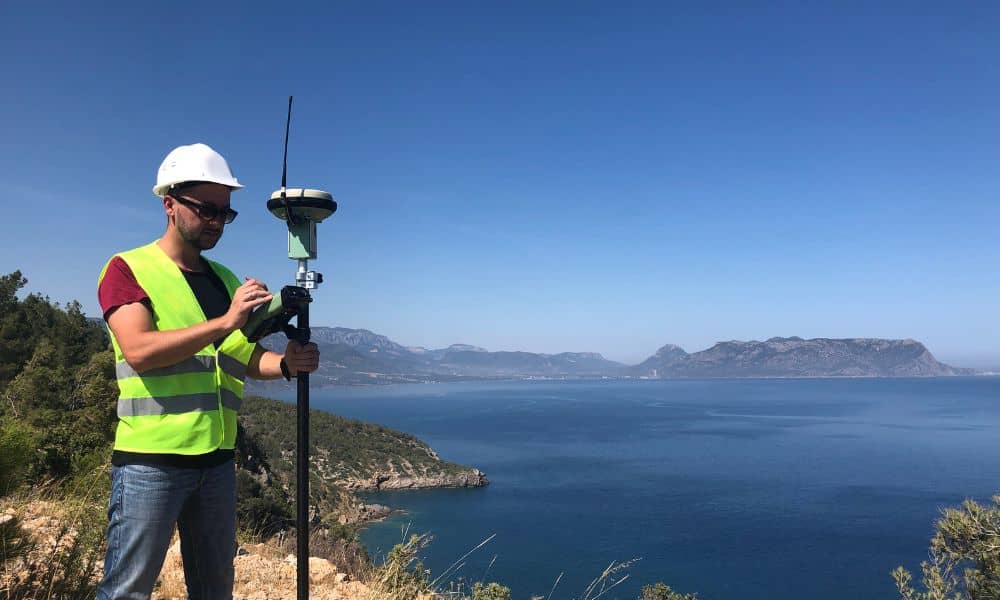
Using Tide Data for Accurate Topographic Surveys

Savannah’s waterfront is one of the most beautiful—and unpredictable—places to work. Between the tidal marshes, winding creeks, and the wide Savannah River, the land never looks exactly the same twice in one day. For anyone involved in development or construction here, that constant change can make a big difference—especially when it comes to topographic surveys. […]