How a Topo Survey Drives Complete Streets Overhaul

Recently, the City of Roswell, just north of Atlanta, Georgia, approved a $43,300 contract for a topo survey. This might seem like a small detail, but for those working in construction, engineering, or development across the Atlanta metro area, it’s actually a significant step. This survey kicks off the Riverside Road “Complete Streets” Project, a […]
Solar Storms and GNSS: Drone Land Surveying Challenges

Drone land surveying is one of the most reliable tools for mapping land. Crews depend on it to collect accurate data fast, whether they are working on subdivision layouts, flood studies, or construction projects. But during the week of September 7–9, many local surveyors noticed something strange: their GPS signals kept dropping, their drones struggled […]
How an Elevation Certificate Can Remove Flood Zone Risk
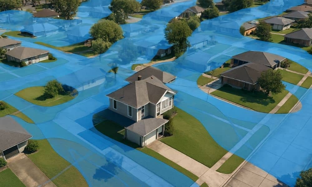
If you live in Columbus, chances are you’ve heard about flood zones. Homeowners near the Chattahoochee River, Weracoba Creek, or Lindsey Creek often get letters from lenders saying they must carry flood insurance. For many families, that extra cost can feel overwhelming. The good news is that you may not actually need to pay those […]