Why Drone Surveyor Expansion Is Changing Survey Speed
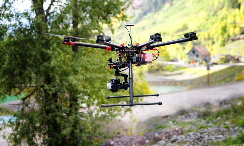
In the last few days, news about a major technology company expanding its drone surveyor services has started conversations across the land surveying world. At first, it may sound like another tech update. However, this move shows something much bigger. It signals a real change in how land surveys are done and what clients can […]
Safety Standards Drive Need for Boundary Line Survey
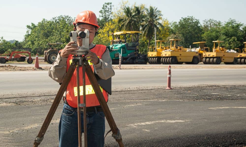
If you’ve been driving around Ringgold lately, you’ve probably seen orange cones, survey tripods, or crews marking the edges of roads. Those markings aren’t random—they’re part of a growing number of projects brought by a new roadway safety plan. And at the center of it all is something many people don’t notice: the boundary line […]