Savannah’s waterfront is one of the most beautiful—and unpredictable—places to work. Between the tidal marshes, winding creeks, and the wide Savannah River, the land never looks exactly the same twice in one day. For anyone involved in development or construction here, that constant change can make a big difference—especially when it comes to topographic surveys.
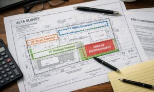
Topographic surveys map both the natural and man-made features of a property—things like slopes, trees, drainage paths, and utility lines. But in Savannah, where tides rise and fall by several feet every few hours, the timing of a survey can completely change what’s visible on the ground. A missed slope or flooded ditch might not seem like a big deal, but it can affect flood planning, grading, and even building permits. That’s why using tide data can make your survey more accurate and dependable.
How Tides Change the Ground You Measure
Along the Savannah River, the land moves with the rhythm of the ocean. When high tide comes in, ditches fill, marsh edges disappear, and low roads can turn into shallow ponds. A few hours later, those same spots dry up enough to walk across. If a crew collects data at different times in that cycle, the elevation points will never match.
This matters to more than just surveyors. Developers, homeowners, and engineers depend on those numbers to plan drainage systems, set foundations, and meet FEMA flood rules. A wrong reading caused by water levels can lead to poor drainage, standing water, or expensive redesigns later.
In October, Savannah recorded a 10.68-foot tide at Fort Pulaski—one of the highest of the year. During those king tides, water pushed inland and flooded several low streets. For anyone mapping elevations that week, the difference between measuring at high tide or low tide could mean seeing a dry field—or nothing but water.
Using NOAA Tide Gauges to Plan Smarter
The best way to stay accurate is to know when the land will be clear enough to measure. Thankfully, that data is easy to get. The National Oceanic and Atmospheric Administration (NOAA) runs tide gauges along the coast, including:
- Savannah River @ Savannah (SVDG1)
- Fort Pulaski (FPKG1)
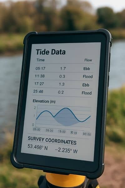
These stations post real-time water levels and tide forecasts. Checking these gauges before fieldwork helps surveyors plan their schedule around the most stable conditions.
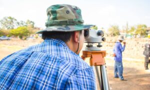
Most local surveyors follow one simple rule: collect field data two to three hours after high tide. That’s when the water has dropped enough to show the real ground, but before it starts rising again.
During that window, ditches, slopes, and outfalls are visible, and GPS signals are clearer because there’s less glare and reflection from the water.
Timing Matters for Every Type of Site
Not every project sits on the riverbank, but tidal effects reach far inland through creeks and storm drains. A subdivision, a driveway, or even a warehouse site near the port can all be affected by the tide.
Planning fieldwork around those cycles helps crews avoid wasted trips and poor data. For example:
- Residential lots: Surveying after the tide drops makes sure backyard grades and ditches are recorded correctly.
- Commercial sites: Low loading areas or detention ponds are easier to measure when they’re dry.
- Infrastructure projects: Culverts, slopes, and outfalls are safest and most accurate to shoot at low tide.
By following the tide, survey teams can finish the work in one visit instead of returning later to redo flooded sections.
Why Weather and Flood Advisories Still Matter
Tides aren’t the only factor that raises water levels. Coastal flooding and strong winds can push water higher than the forecast. That’s why it’s smart to check the National Weather Service (NWS) Savannah updates before heading to the field.
If there’s a coastal flood advisory, it’s best to wait. Roads like GA-80 toward Tybee can flood quickly, and bringing survey equipment into standing water is never safe. When conditions look rough, most surveyors switch to indoor work—processing data, checking elevations, or finishing reports—until it’s safe to continue.
This approach keeps projects on track without risking safety or accuracy.
Bringing Tide Awareness Into the Final Report
After fieldwork, noting the tide stage in the survey report shows professionalism and transparency. A short note like: “Data captured approximately two hours after high tide based on NOAA Fort Pulaski gauge” tells clients and engineers that the timing was intentional.
That small detail helps explain any differences between surveys and assures reviewers that the results match real site conditions. It’s especially helpful for projects tied to floodplain modeling, drainage plans, or FEMA elevation certificates.
Benefits for Clients and Project Teams
Clients sometimes ask why a survey is delayed or why work stops when there’s standing water. The truth is, precision takes patience. When surveyors plan around the tide, everyone benefits.
- Developers get accurate grading data that prevents design mistakes.
- Homeowners see a clearer view of how water moves across their property.
- Engineers receive dependable base maps for drainage, utilities, and construction layouts.
Even a few inches of tide difference can shift contour lines and change how water drains across a site. Respecting the tide protects clients from future flooding and costly fixes.
Pro Tips for Field Teams
Working around the tide takes practice, but a few habits make it easier:
- Mark temporary benchmarks tied to the tide stage for future checks.
- Schedule drone or aerial mapping at mid-tide to reduce glare.
- Record the exact time of each shot in waterproof notes or tablets.
- Double-check GPS data against solid control points when weather or magnetic changes might affect accuracy.
These habits help teams collect consistent data—especially on long projects that need several visits.
Tides and Technology: Working Together
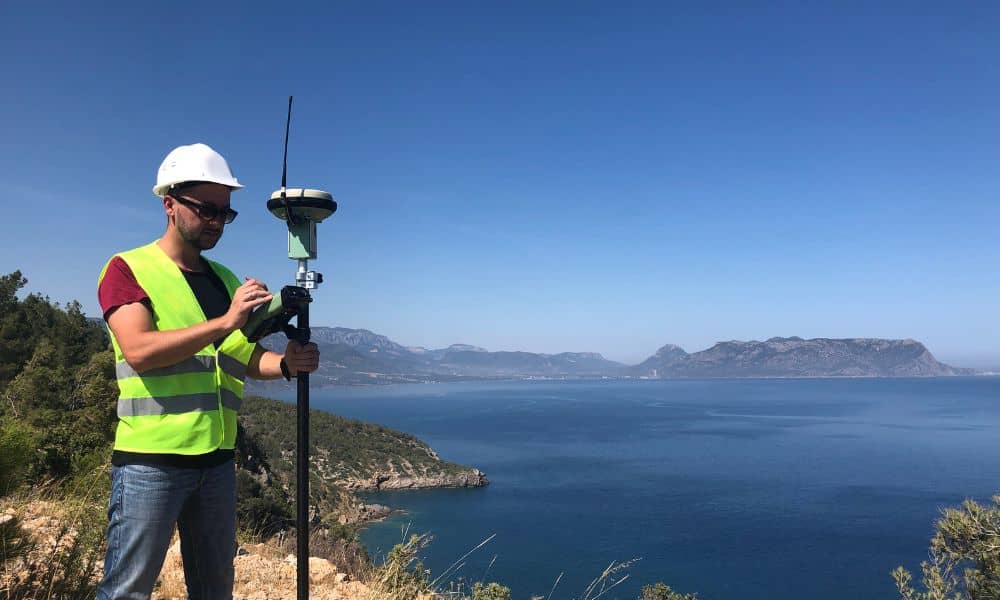
Modern tools like GPS, drones, and LiDAR make surveys faster, but timing still matters most. Technology can’t fix poor planning. Using tide data in your workflow combines accuracy with efficiency.
Many firms now link NOAA tide forecasts with their scheduling apps. This lets crews match field hours with the best tide windows automatically. The result is smoother jobs, cleaner data, and fewer costly reworks.
Final Thoughts
In a city shaped by water, precision starts with timing. Topographic surveys aren’t just about tools and coordinates—they’re about understanding how the tide changes the ground every day.
Whether you’re mapping a small backyard lot or a large coastal site, checking the tide first can turn a simple survey into a reliable base for your project.
If you’re planning construction, talk to a licensed land surveyor who knows how to work with the tide. They’ll know exactly when the ground is ready—and when it’s still underwater.
Because in coastal Georgia, the most accurate map begins with the rhythm of the river.
