High-Accuracy Subdivision Design With LIDAR and Grading
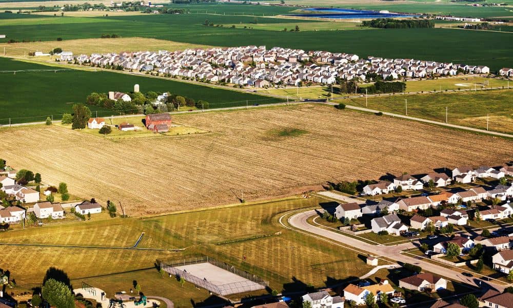
Planning a new neighborhood takes more than a sketch on a map. Good subdivision design depends on accurate data, smart engineering, and a clear understanding of the land. When developers skip these steps, projects suffer from drainage problems, unexpected soil issues, and higher construction costs. However, when a design starts with the right tools—like LIDAR […]