Why Drone Surveyor Expansion Is Changing Survey Speed
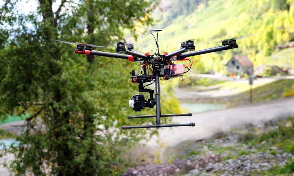
In the last few days, news about a major technology company expanding its drone surveyor services has started conversations across the land surveying world. At first, it may sound like another tech update. However, this move shows something much bigger. It signals a real change in how land surveys are done and what clients can […]