LiDAR Mapping Reveals Hidden Terrain Risks on Properties
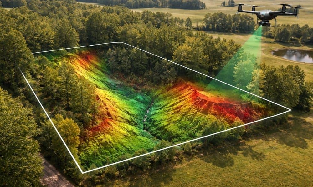
Buying land can feel simple at first. A property may look flat, quiet, and ready for building. However, the ground often hides important details. Small changes in elevation or uneven soil can create problems later. Because of this, many property owners now rely on lidar mapping to understand their land before making big decisions. In […]