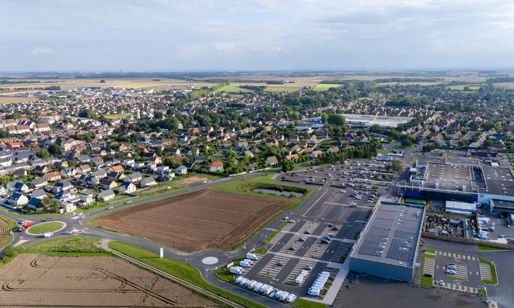
Warner Robins is growing fast, and every month new neighborhoods, roads, and developments begin shaping the edges of the city. Because of that, homeowners are starting to ask bigger questions about land, fences, yards, and where their property truly begins and ends. A property survey is becoming more important than ever, especially as city development approvals begin affecting lot boundaries across different neighborhoods.
Over the past few weeks, the city and county announced multiple planning items, development hearings, and annexation requests. These sound routine at first, but they can change how land is divided and used. As new projects move forward, new roads can be added, right-of-ways can expand, and drainage areas can shift. When this happens, boundaries don’t always stay the same on paper or on the ground.
And when boundaries feel uncertain, problems start.
Warner Robins Is Growing Faster Than Residents Realize
Anyone who has lived here for more than a year knows the pace. First, a parcel sits untouched. Then, suddenly, clearing crews appear. Dirt piles rise. Stakes go in. Townhomes or subdivisions follow soon after.
Recently, the city approved new development activity near Lake Joy, Corder Road, and multiple growing corridors. As more developers enter the area, the shape of existing neighborhoods begins changing with each new approval.
But that growth comes with several hidden effects that homeowners usually feel later, not early.
Here’s why:
Every new development needs access. That means new driveways, wider roads, and new drainage routes. Every new street needs space. Sometimes that means widening an existing right-of-way. Every subdivision needs utilities. So utility easements must be created or extended.
As a result, some boundaries shift on plats, even if the house itself never moves.
How Development Approvals Can Impact Your Boundaries

When new construction arrives near a neighborhood, the effects spread outward.
Sometimes an updated plat goes on file. Sometimes a utility easement changes shape. Sometimes the city approves a road widening plan that takes a surprising turn.
And that’s where homeowners begin to feel it.
You may notice:
– Stakes in the ground along your street – Tree clearing behind your fence line – New sidewalks appearing – Curbs being relocated – Drainage cuts being added – Truck access lanes forming nearby
Even small changes have consequences.
For example, if a right-of-way expands by three feet, your fence, mailbox, or landscaping may suddenly sit inside a public zone instead of a private one. That can turn into confusion or conflict when a new project starts up only a few houses away.
Why This Matters Even If Your House Is Older
A lot of homeowners assume that only new construction needs attention. However, older neighborhoods feel these effects too because new plats can border old plats.
Growth pulls in surrounding blocks.
And that’s why many issues begin with these simple statements:
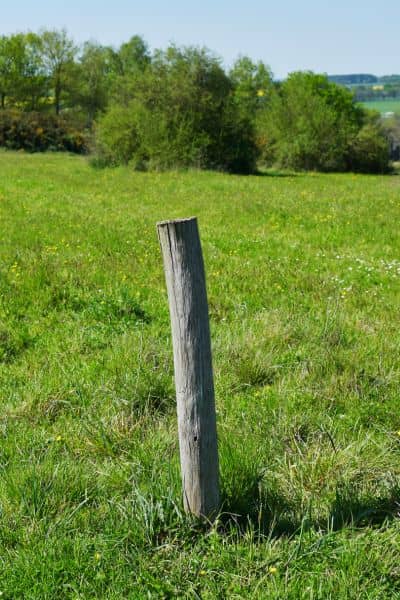
“I thought that tree was on my land.” “I thought the fence was the boundary.” “I thought that strip of grass was part of our yard.”
Assumptions feel safe until something changes around you. Once a new project begins, the old lines suddenly matter.
When a Property Survey Becomes Urgent
There are moments when getting a property survey isn’t just smart—it’s necessary.
The first is when construction begins near your neighborhood. Even if it isn’t on your street, it can affect nearby boundaries.
Another moment is before you start any outdoor project, like adding a fence, shed, or concrete patio. Builders are often busy right now, and homeowners want to improve their properties. But building without knowing exact lines can lead to costly mistakes.
You also need a survey if you plan to sell your home soon. Buyers are more cautious, lenders are more strict, and attorneys want clear documentation.
Last, when neighbors begin asking questions about fences or corner stakes, that’s the moment you shouldn’t wait.
A property survey gives you clarity before confusion grows.
What a Survey Can Reveal During a Development Boom
A property survey shows the precise edges of your land, but it does more than mark corners.
It can reveal:
– Where the legal boundary is today – Where easements begin and end – Whether fences are correctly placed – If new right-of-ways will affect your yard – If utilities now cross your property – Whether shared boundaries need adjusting
In a fast-growing city like Warner Robins, these details matter because nothing stays frozen during expansion.
When land changes around you, knowing where you stand puts you in control.
A Local Example Many Homeowners Understand
Imagine you live on a quiet street. For years, the empty land behind your home has stayed untouched. Then a new subdivision is approved. Suddenly, the back side of your property becomes the new front edge of someone else’s project.
Soon, the land will be cleared. Heavy machinery arrives. Storm drains appear. Survey stakes are placed.
Your yard didn’t move—but the world around it did.
If you don’t know where your property ends, every new action behind you feels uncertain.
That uncertainty turns small changes into stressful ones.
Staying Ahead of Changes in Warner Robins
You can stay ahead by paying attention to the early signs of expansion. When you notice new development activity nearby, take a moment and think about how that could change your land.
Look at calendars for city planning sessions. Watch for construction trailers being delivered. Notice when lots are cleared around corners and behind fences.
Growth is positive—and our community benefits from it—but you deserve clarity about your land.
And a property survey is the most reliable way to get that clarity.
Final Thoughts
Warner Robins will continue growing for years. New developments bring opportunities, new homes, and new businesses. However, they also create situations where boundaries shift, easements move, and neighbors ask hard questions about land.
Clarity protects you. Knowledge protects your investment. Accuracy protects your property.
Now is the time to understand where your land begins and where it ends—before construction arrives at your doorstep.
If you live in Warner Robins and you’re unsure about your boundary lines, get a property survey soon. It may be the most important step you take to protect your home as the city continues to expand.


