Is Your Plat of Survey Protecting You?
Property rights are back in the national spotlight. Recently, the U.S. Supreme Court reviewed a case involving tax foreclosures and what happens to a homeowner’s remaining equity when a property gets sold for unpaid taxes. While the legal debate feels far removed from everyday life in Ringgold, Georgia, it sends a clear message: ownership is […]
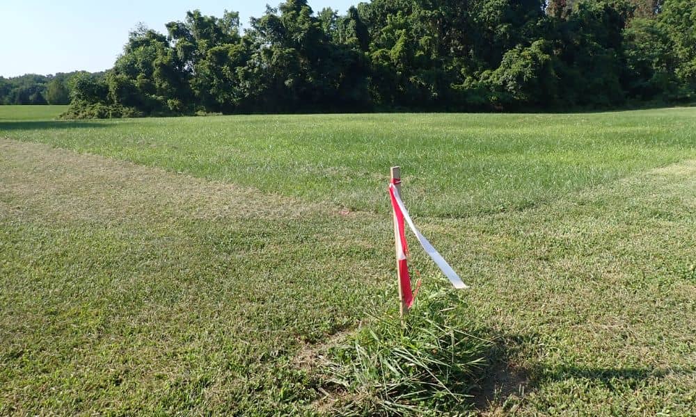
Why Land Surveying Is Critical in Historic Districts
Savannah’s Historic District feels frozen in time. Cobblestone streets, old brick homes, and shady squares give the city its charm. However, Savannah’s history does not stop at the ground level. It continues below the surface. Recent radar scans in some city squares showed signs of possible unmarked burial sites underground. That news surprised many people. […]
How an Elevation Certificate Lowers Flood Insurance

Flood insurance in Georgia does not look the same as it did a few years ago. Many homeowners open their renewal notice and feel shocked. The house has never flooded. Nothing changed. Yet the premium climbed anyway. The reason often traces back to FEMA’s new system called Risk Rating 2.0. This pricing model looks deeper […]