High-Accuracy Subdivision Design With LIDAR and Grading
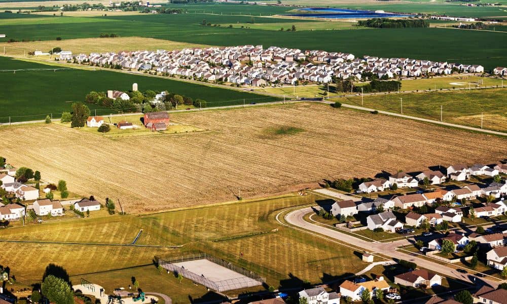
Planning a new neighborhood takes more than a sketch on a map. Good subdivision design depends on accurate data, smart engineering, and a clear understanding of the land. When developers skip these steps, projects suffer from drainage problems, unexpected soil issues, and higher construction costs. However, when a design starts with the right tools—like LIDAR […]
Why Is Drone Surveying Growing as 3D Tech Improves?

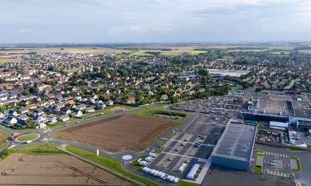
Atlanta keeps growing, and every new project needs fast and accurate land data. That is why drone surveying is becoming more important than ever. In the first 100 words, it’s clear how developers across the city want better tools that help them understand a site before they build. And now, with new advances in 3D […]
Will New Developments Affect Your Property Survey?
Warner Robins is growing fast, and every month new neighborhoods, roads, and developments begin shaping the edges of the city. Because of that, homeowners are starting to ask bigger questions about land, fences, yards, and where their property truly begins and ends. A property survey is becoming more important than ever, especially as city development […]