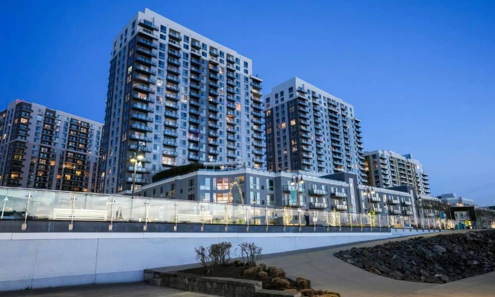
A mixed-use building puts shops, offices or restaurants on the lower level and apartments or condos above. That mix makes flood paperwork harder than it looks. An elevation certificate records how high key parts of a building sit compared with the expected flood level. In a mixed-use building, those parts don’t all serve the same purpose. If you’re a developer or owner planning, getting the elevation data right early can shape your design, your permits and your flood insurance.
Mixed-use growth has spread across Atlanta, from older commercial strips that owners are rebuilding to new projects near the Atlanta BeltLine. Some of these sites sit near creeks like Peachtree Creek or Proctor Creek, where parts of the land fall inside mapped flood areas. Not every mixed-use site needs an elevation certificate. The ones that do tend to raise the same questions about retail floors, parking and who signs off on what.
Identify Which Parts of the Mixed-Use Building Need Elevation Data
An elevation certificate focuses on the lowest parts of the building and the equipment that serves it. It doesn’t cover every floor. A surveyor typically records the top of the bottom floor, the next higher floor, the lowest and highest ground next to the building, and the height of machinery like HVAC units or electrical panels. In a mixed-use building, the bottom floor is usually commercial space, so the retail level often carries the most weight in the numbers.
Before fieldwork starts, sort the building by use. Mark which areas hold retail or office space and which hold residences. Also mark where shared features sit, such as lobbies, mechanical rooms, trash rooms and parking. A residential lobby on the ground floor can change what counts as the lowest floor.
Clear use labels on the plans help the surveyor pick the right building diagram on the FEMA form. That diagram controls how every measurement on the certificate is read. A wrong diagram choice can cause confusion later with the insurer or the floodplain office.
Check Building Elevations Against the Property’s Flood Information
The numbers on an elevation certificate only mean something when you compare them with the flood information for the site. That information usually comes from the FEMA Flood Insurance Rate Map. The map shows the flood zone and, in many areas, a Base Flood Elevation. The Base Flood Elevation is the height floodwater would reach in a flood that has a 1% chance of happening in any year.
The surveyor ties the building measurements to the same vertical datum the map uses, so the two sets of numbers line up. A vertical datum is a shared reference point for measuring height. With both sets of numbers on the same system, you can see how far the lowest floor sits above or below the flood level.
Some sites near streams fall in zones where the map shows a flood area but no Base Flood Elevation. In those cases, the local floodplain office may have other data or may ask for more study. Local rules may also require the lowest floor to sit a set distance above the flood level. Atlanta spans parts of Fulton and DeKalb counties, so confirm that number with the right floodplain administrator before design goes too far.
Account for Below-Grade Parking and Ground-Floor Commercial Space
Below-grade parking is the feature most likely to complicate a mixed-use elevation certificate. When a parking level sits below the ground on all sides, flood rules often treat it as a basement. A basement floor usually counts as the building’s lowest floor. That can put the recorded lowest floor well below the flood level, even when the shops and homes above sit much higher.
Ground-floor commercial space brings its own concerns. Storefronts often sit close to street level for easy access, which can pull the lowest occupied floor down toward the flood height. Utilities matter too. A transformer or pump room on the parking level can count as much as the floor itself.
Point out these features to your surveyor early:
- Parking levels below grade on some or all sides
- Ramps and garage entrances that slope down toward the building
- Ground-floor mechanical, electrical or elevator equipment
- Flood openings or vents in lower walls
- Loading docks set lower than the retail floor
Coordinate Elevation Documentation Before Design Decisions Become Expensive
The best time to gather elevation data on a mixed-use project is before the design team locks in floor heights. A surveyor can prepare a certificate from construction drawings while the building is still on paper. A final certificate follows once construction wraps up. Some communities also ask for an elevation check once the lowest floor is in place.
Early numbers let the architect and engineer test options. They might raise the retail floor a foot or two, move mechanical rooms up a level or rethink the garage entrance. These choices are fairly easy to change on paper.
Changes get much harder once the foundation is poured. Lowering a garage ramp, adding flood openings or moving equipment after construction can mean redesign, rework and permit revisions. Bringing the surveyor, architect and civil engineer together early gives everyone one set of elevation numbers to work from. It also lets the owner answer lender and insurance questions with real data instead of guesses.
Confirm Whether Additional Floodproofing Documentation Is Required
An elevation certificate may not be the only flood document a mixed-use building needs. Residential floors generally must sit above the flood level. Local rules and building codes may let the nonresidential part of a mixed-use building use dry floodproofing instead. Dry floodproofing means sealing the lower walls and openings so water can’t get inside.
When a project takes that route, FEMA uses a separate floodproofing certificate for nonresidential buildings. A registered engineer or architect typically certifies the floodproofing design. The surveyor may still supply the elevations that support it.
Whether this option exists for your building depends on the floodplain ordinance, the building code and the flood zone. Ask the local floodplain administrator early. Then tell your insurance agent which document the flood policy will rely on.
Frequently Asked Questions
Can one Elevation Certificate cover an entire mixed-use building?
Yes, as long as all the uses share one structure. FEMA’s form describes a building as a whole, so retail, office and residential areas under one roof fall on a single certificate. The measurements focus on the lowest floor and the ground around the building, not on each unit. A second building on the lot or a floodproofed commercial level would need its own paperwork.
Does an Elevation Certificate include retail and residential floors?
It covers them in different ways. A shop on the ground floor often shows up directly because it usually sits at the lowest level the form measures. Apartments on upper floors appear only as part of the overall building. Condo owners upstairs may still be asked for a copy of the building’s certificate when they buy their own flood coverage.
Who can complete an Elevation Certificate for a property?
A land surveyor, professional engineer or architect who holds a license and is authorized to certify elevation information can complete and sign the form. Most of this work goes to land surveyors because it depends on field measurements tied to a vertical datum. In some cases, a community floodplain official can fill in certain sections. Ask the local floodplain office which option fits your property.