Why AI Mapping Is Reshaping Surveying Companies
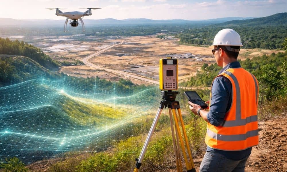
Georgia is growing fast. New subdivisions stretch across former farmland. Warehouses rise near highways. Small towns like Ringgold feel the pressure of steady development. Because of that growth, land decisions now move quicker than ever. Developers cannot afford to wait weeks just to understand a piece of property. At the same time, new technology has […]
High-Accuracy Subdivision Design With LIDAR and Grading
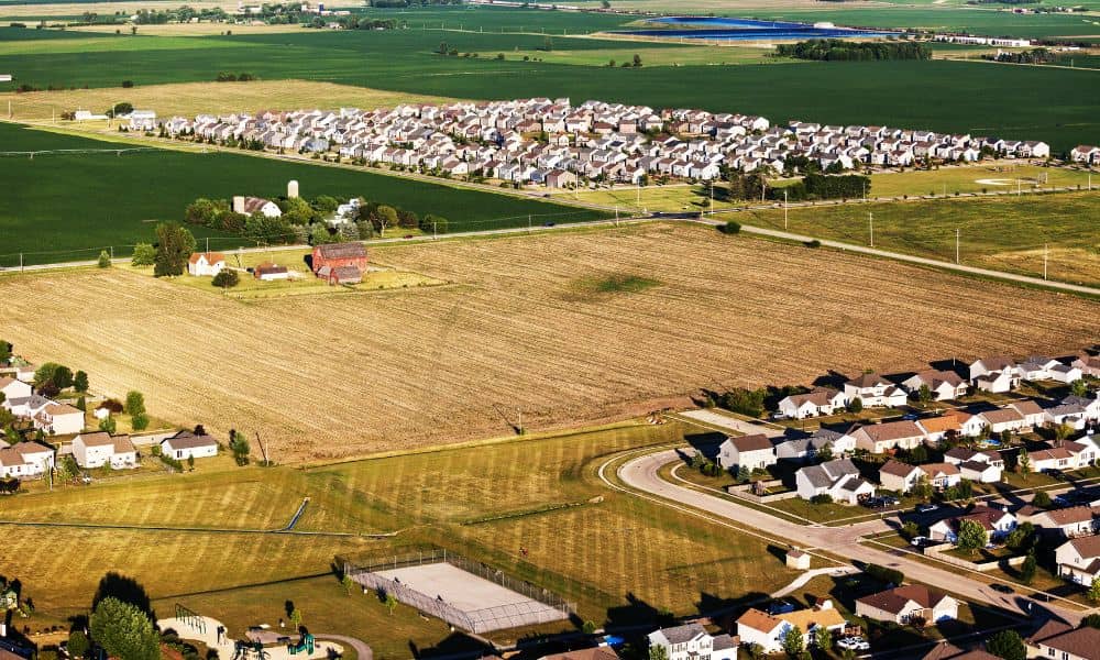
Planning a new neighborhood takes more than a sketch on a map. Good subdivision design depends on accurate data, smart engineering, and a clear understanding of the land. When developers skip these steps, projects suffer from drainage problems, unexpected soil issues, and higher construction costs. However, when a design starts with the right tools—like LIDAR […]