Property Line Survey Mistakes Homeowners Should Avoid

If you own a home, your land is one of your biggest investments. But many people don’t really know where their property begins and ends. That’s where a property line survey comes in. A property line survey shows your exact boundary lines on a map and on the ground, giving you a clear way to […]
LiDAR Mapping Reveals Hidden Terrain Risks on Properties
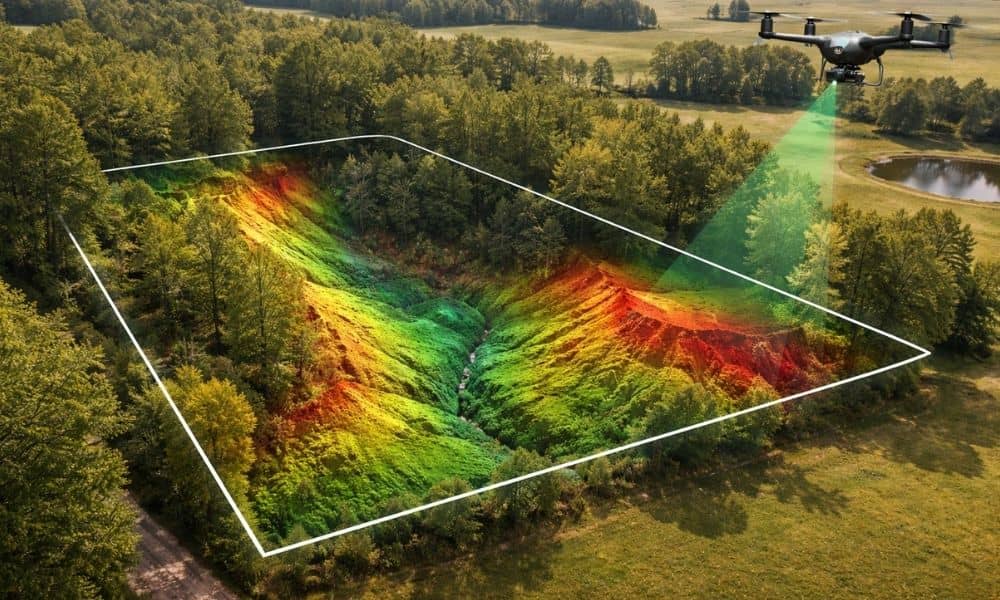
Buying land can feel simple at first. A property may look flat, quiet, and ready for building. However, the ground often hides important details. Small changes in elevation or uneven soil can create problems later. Because of this, many property owners now rely on lidar mapping to understand their land before making big decisions. In […]
Can a Phone Replace an ALTA Land Title Survey?
In the past week, the tech world buzzed with news that a few smartphone makers—like MediaTek and Xiaomi—are rolling out phones that can supposedly measure land within millimeters of accuracy. They’re using new RTK (Real-Time Kinematic) GPS systems, the same kind that professional surveyors have relied on for years. Suddenly, people are asking: If my […]