LiDAR Mapping Reveals Hidden Terrain Risks on Properties
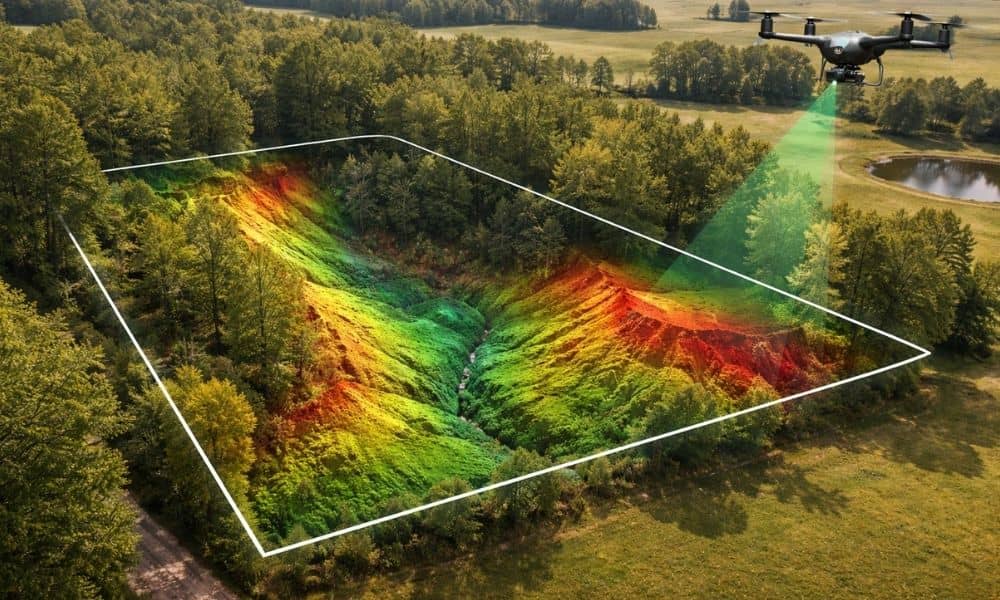
Buying land can feel simple at first. A property may look flat, quiet, and ready for building. However, the ground often hides important details. Small changes in elevation or uneven soil can create problems later. Because of this, many property owners now rely on lidar mapping to understand their land before making big decisions. In […]
Why LiDAR Mapping is Essential for Utility Projects
Installing utilities in hilly or sloped areas can be risky without the right elevation data. That’s why LiDAR mapping in Ringgold is now a go-to tool for builders and utility planners. Mistakes in utility planning can lead to costly rework, safety hazards, and inspection failures. That’s why more engineers and contractors are relying on LiDAR-based […]
How LiDAR Mapping Supports Warner Robins, GA’s Economic Revitalization in 2025
Warner Robins, GA is quickly becoming a city to watch when it comes to innovation and smart growth. With new infrastructure projects on the horizon and a renewed focus on urban revitalization, local leaders are turning to advanced tools to guide their decisions. As more cities adopt smart planning tools, LiDAR Mapping in Warner Robins […]