LiDAR Mapping Reveals Hidden Terrain Risks on Properties
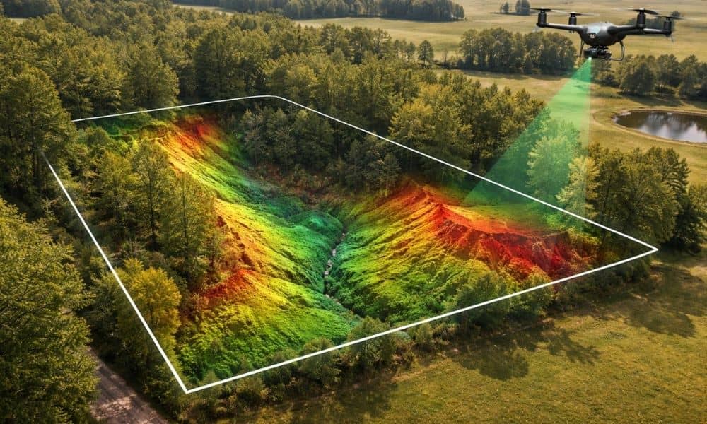
Buying land can feel simple at first. A property may look flat, quiet, and ready for building. However, the ground often hides important details. Small changes in elevation or uneven soil can create problems later. Because of this, many property owners now rely on lidar mapping to understand their land before making big decisions. In […]
Why AI Mapping Is Reshaping Surveying Companies
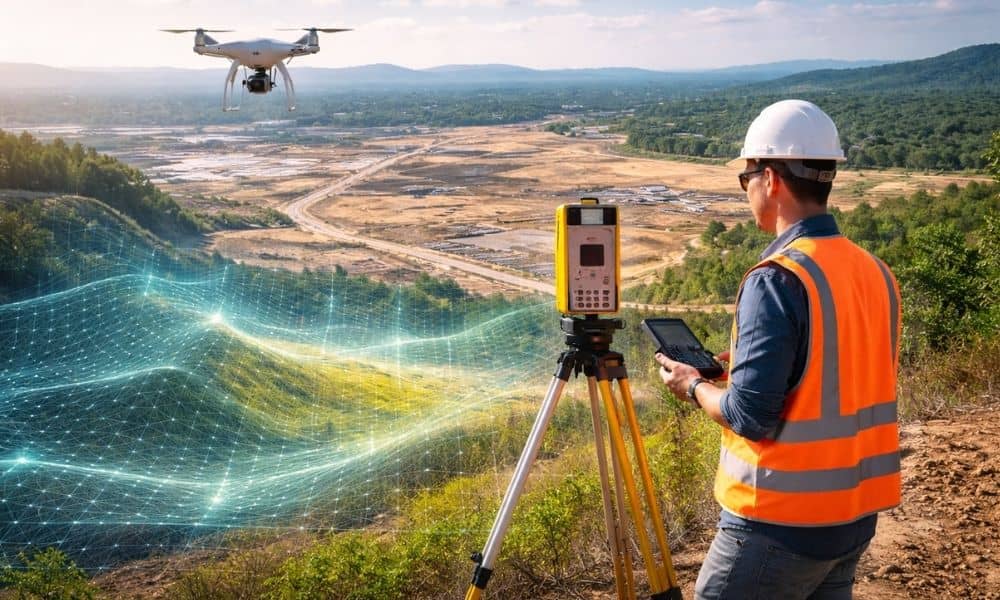
Georgia is growing fast. New subdivisions stretch across former farmland. Warehouses rise near highways. Small towns like Ringgold feel the pressure of steady development. Because of that growth, land decisions now move quicker than ever. Developers cannot afford to wait weeks just to understand a piece of property. At the same time, new technology has […]