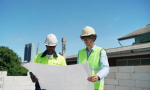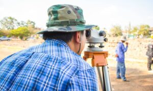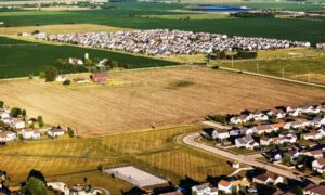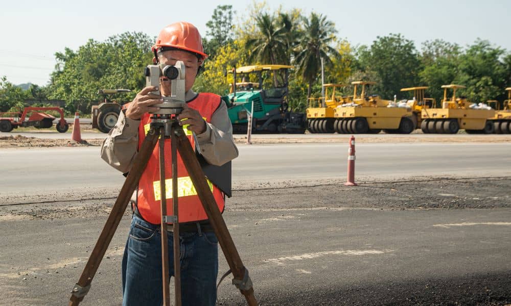
If you’ve been driving around Ringgold lately, you’ve probably seen orange cones, survey tripods, or crews marking the edges of roads. Those markings aren’t random—they’re part of a growing number of projects brought by a new roadway safety plan. And at the center of it all is something many people don’t notice: the boundary line survey.
This month, the American Association of State Highway and Transportation Officials (AASHTO) launched a national effort to make roads safer. The Georgia Department of Transportation (GDOT) joined in right away, starting upgrades along big North Georgia roads like I-75, US-41, and US-27. These projects might look like simple repairs, but for surveyors, engineers, and local builders, they signal a lot of work ahead.
The Safety Mandate That’s Changing How Georgia Builds
The AASHTO Safety Summit in November set one main goal: fewer road accidents through smarter design. That means new guardrails, better drainage, and clearer lanes. But before any of that can happen, someone has to mark where public land ends and private property begins.
That’s where surveyors come in. Before construction crews start working, they rely on a boundary line survey to show the legal limits of each property. It helps make sure road projects stay in the right area and don’t cross into private land.
In short, before new safety rules can save lives, surveyors have to make sure every inch of ground is measured and mapped correctly.
Why Boundary Surveys Matter More Now
For years, many counties used old maps to plan their roadwork. Some of those maps are outdated or missing details. GDOT’s new rules focus on checking every line and boundary before starting any construction. Because of that, surveyors across North Georgia are busier than ever.
When a safety project begins, survey teams confirm the right-of-way, locate underground utilities, and measure road edges. They use GPS and drone tools to make sure their data is exact. This careful process helps avoid delays and prevents costly mistakes for both contractors and landowners.
Homeowners also benefit. If a road is widened or a ditch is rebuilt near your yard, the project could affect your driveway or property line. A boundary line survey gives everyone a clear picture of where public work stops and private property begins.
From Paper Maps to Digital Precision

Surveying today looks very different from how it did years ago. Instead of relying only on paper plats or wooden stakes, surveyors now use drones, GPS, and laser scanners to collect data that’s almost perfectly accurate. Once the data is gathered, it’s shared digitally with GDOT engineers and builders.
This new technology helps everyone work faster and more safely. It cuts down on mistakes like misplaced concrete, wrong drainage slopes, or fences built in the wrong spot. For surveying companies, that means more requests for updated plats, right-of-way checks, and fresh property corners before a project begins.
What It Means for Homeowners and Builders
If you own property near a state or county road, this safety program might affect you soon. As GDOT reviews local roads, surveyors may visit your area to mark easements or driveway edges. They’re not changing your property—they’re making sure construction crews know exactly where they can and can’t work.
For builders, this update is even more important. Many permits now require a recent survey before construction can start. If your plat is outdated, your project might be delayed or even rejected. Ordering a boundary line survey early helps you avoid those headaches and keeps your plans on schedule.
Even small projects like new driveways, culverts, or fences can be affected by new right-of-way lines. Having an updated survey ensures your improvements stay within your property limits.
The Local Ripple Effect: More Work and Better Data
This new safety rule isn’t just about more paperwork—it’s creating jobs and better systems. Surveyors, engineers, and inspectors are all working closer together. The result is faster communication and more reliable data across Catoosa County.
It also helps in real estate. When road lines shift, title companies and banks often ask for updated surveys before a sale or closing. A survey that was fine a year ago might not match the new records today. Updated boundary maps help avoid surprises during property transactions and speed up approvals from county offices.
This teamwork between state agencies, local surveyors, and property owners keeps growth safe and organized.
How Surveyors Keep Projects Safe and On Schedule
Surveying happens quietly, but it’s one of the most important parts of every construction project. Each stake placed in the ground shows where something should go—a curb, a sign, or a drainage pipe. If those lines are off, crews could build outside the legal limits, causing delays and fines.
Surveyors prevent that by checking every boundary, setting clear markers, and updating maps as they work. Their accuracy makes sure construction stays legal, safe, and on time. As more projects roll through North Georgia, boundary line survey work becomes the backbone of progress.
What You Can Do Now
If your home or project site is near a busy road, now is the best time to act. Contact a licensed land surveyor and ask if your old plat is still valid. If it’s several years old, a new survey will confirm your exact boundaries and right-of-way lines.
Builders can also schedule a short “work zone check.” A surveyor can look over your plans and point out any possible issues before permits are filed. This small step can save days or even weeks once construction starts.
Closing Thoughts: Safety Starts with Surveying
Big road projects usually grab attention because of the traffic or cost. But behind every safe lane and solid curb is a team of surveyors who made sure it was done right. The new roadway safety mandate is more than a rule—it’s a reminder that safety starts with accuracy.
In Catoosa County, local surveyors are helping turn that idea into reality. By marking every boundary clearly and keeping data up to date, they’re protecting both public safety and private property. As Georgia’s roads improve, one thing stays true: progress begins with a good boundary line survey.
