Land surveying is one of the the oldest professions anywhere. After any two individuals own property on opposite sides of a line – land surveying is important.
Land surveying is fascinating. The strategy used aim to determine which section of land is owned by whom, hopefully ending arguments for good.
To put it briefly, surveying is really a process using mathematical methods for surveying land to determine its ownership.
The first accounts of surveying land extends back to ancient Egypt. Experts have discovered evidences that the ancient Egyptians used basic geometry to redraw the lines of boundary when the Nile River overflowed. An Egyptian land register going back 3000 BC was found.
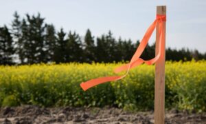
Following the Egyptians, the Romans – also the most powerful civilizations within the ancient world – practiced land surveying. They took it a pace further and made “land surveyor” an official position inside the Empire. These folks called agrimensores, often called Corpus Agrimensorum Romanorum. Despite the fact they used rather simple tools, these people were very thorough with their jobs and would create straight lines and proper angles with the use of these tools. As soon as the lines were measured, they’d create shallow ditches to mark the lines. Actually, much of the furrows they made continue to exist today.
One of several recorded land surveying of the “modern” times belongs to William the Conqueror who wrote the Domesday Book in 1086. This book is really a menu of names of land owners, the amount of land they owned as well as other information about the land. While it was a substantial volume of information during this period, the pieces of information weren’t 100% correct. The locations just weren’t accurate and the maps were not made to scale.
Among history’s greatest icons have also been an ardent surveyor – Napoleon Bonaparte. The interest in surveying land was really just a product of his wish to conquer the earth. Napoleon Bonaparte founded a registry referred to as cadastre. This includes a registry of properties of a county, ownership details, locations and as much information concerning the land’s value. Yes, Napoleon Bonaparte can be regarded as a land surveyor – plus a very smart man.
The strategies put to use in land surveying also have evolved over the centuries, over time. Long ago, people would use whatever could help them determine the distance from one point to another. This implies using chains with links and even ropes. Not surprisingly, this didn’t give accurate results but they did not have the technology we now have.
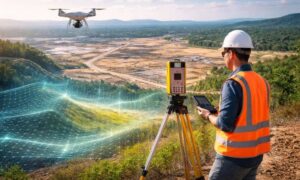
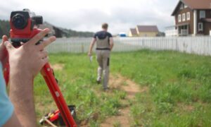
Today, land surveyors possess the best technologies to assist them with their job. There is GPS, or Global Positioning System, which is quite possibly the most accurate technologies available today. Total stations are also crucial to a land surveyor, which employs the utilization of an EDM or Electronic Distance Measurement device together with a theodolite which enables for further precise angle and distance measurements.
