Lidar Mapping After the National Debate: What Changed
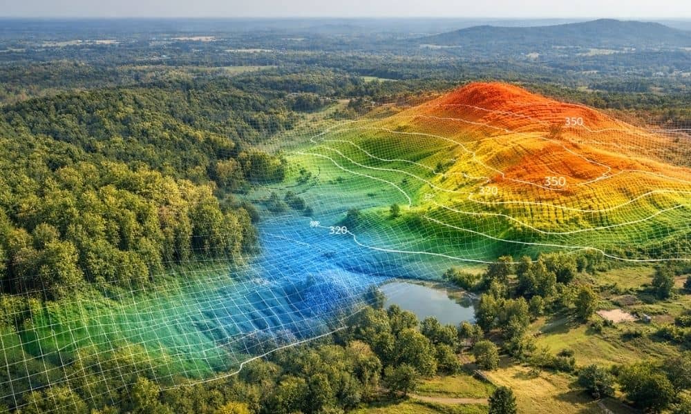
Over the past few weeks, LiDAR has been in the national news. Stories showed how laser mapping found hidden cities under thick forests. At the same time, experts started talking about something bigger — who owns mapping data, how people use it, and what happens when someone reads it the wrong way. At first, that […]