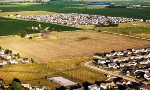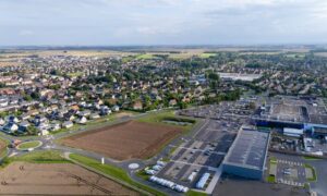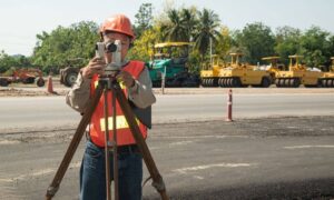
Atlanta is growing fast. New neighborhoods, roads, and buildings are popping up everywhere. With so much construction happening, developers need tools that help them plan better and faster. One of the best tools available today is LiDAR mapping.
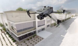
LiDAR stands for Light Detection and Ranging. It uses lasers and drones to scan the land and create detailed 3D maps. These maps help builders, engineers, and land surveyors see the land clearly—even through trees and over rough terrain.
In this article, we’ll look at the top 7 benefits of using LiDAR mapping in Atlanta GA, especially for people working on land development projects.
What is LiDAR Mapping and How Does It Work?
LiDAR uses lasers to measure the ground from above. These lasers are sent out from drones, planes, or equipment on the ground. As the laser hits the land and comes back, it helps create a very detailed 3D map of the area. This technology collects millions of points to show the shape and height of the land. The data is then used to make clear maps and models that are super helpful for planning construction or development.
Atlanta’s Booming Land Development Needs Smarter Surveying Solutions
Atlanta’s growth comes with challenges—rolling hills, dense forests, wetlands, and a mix of rural-urban terrain make traditional surveying time-consuming. That’s where LiDAR mapping comes in. It’s fast, efficient, and accurate, making it ideal for Atlanta’s diverse land development needs.

1. Unmatched Accuracy in Terrain Mapping
LiDAR doesn’t just scan the surface—it can see through vegetation to detect the actual ground level. This is incredibly helpful in wooded or suburban areas around Atlanta, where trees and brush can hide elevation changes. Whether you’re dealing with dense forests or complex cityscapes, LiDAR delivers precise topographic data that reduces costly surveying errors.
2. Faster Results with Drone-Based LiDAR Surveys
Drone LiDAR surveys can cover hundreds of acres in just a few hours. Compared to traditional survey methods that might take days or weeks, this speed allows developers to move quickly from planning to permitting. In Atlanta’s fast-moving real estate market, that time savings can be a major advantage.
3. Smarter Urban Planning with 3D Data
Atlanta is growing fast, with new roads, housing, and transit projects underway. LiDAR provides detailed 3D maps that help planners and engineers make smarter decisions. Whether it’s zoning, drainage design, or future infrastructure, LiDAR gives city planners the clear insights they need.
4. Long-Term Cost Savings
LiDAR surveys might seem expensive at first, but they save money in the long run. You’ll reduce the need for large field crews, cut down on return visits, and speed up the entire surveying process. This adds up to thousands in savings—especially for larger projects across metro Atlanta.
5. Safe Access to Difficult Terrain
Some parts of Atlanta, like the Chattahoochee River floodplains or steep hills in the north, are tough to access on foot. Drone LiDAR safely maps these hard-to-reach places without putting workers at risk. It’s a smart solution for surveying wetlands, wooded areas, or uneven land.
6. High-Resolution 3D Models for Better Design
With LiDAR, developers and architects get ultra-detailed 3D models of the site. These models make it easier to plan around slopes, avoid flood zones, and design with the land’s natural features in mind—before any construction begins.
7. Easy Integration with GIS and CAD Tools
LiDAR data fits seamlessly into tools like GIS and CAD, making it easy for surveyors and engineers to analyze, model, and plan their projects. This helps speed up the approval process and keeps everything moving smoothly from design to permitting.
LiDAR Mapping Success Story in Metro Atlanta
In a recent 75-acre mixed-use development in the northern Atlanta suburbs, drone LiDAR mapping helped a local developer reduce planning time by 40%. The data revealed floodplain boundaries, optimized stormwater drainage design, and even helped reposition buildings to minimize land grading costs.
When to Hire a Professional LiDAR Mapping Company in Atlanta GA
Look for a company that uses FAA-approved drones, has experience with land development projects, and is licensed to practice surveying in Georgia. This ensures the data is both accurate and legally valid.
FAQs
1. What makes LiDAR better than traditional surveys?
LiDAR offers faster, more accurate, and denser data collection, especially useful for complex terrains.
2. Is drone-based LiDAR legal and regulated in Atlanta?
Yes. The FAA regulates drone use, and professional surveyors must follow Georgia’s surveying laws.
3. How long does a LiDAR mapping survey usually take?
For most mid-sized sites in Atlanta, data can be collected in 1–2 days and processed within a week.
4. What type of land projects benefit most from LiDAR?
Large-scale developments, roadways, utility corridors, and hilly or vegetated sites are ideal.
5. Can LiDAR data be reused for future developments?
Absolutely! The high-resolution models can support future planning, zoning changes, and expansions.
6. How much does a LiDAR mapping service cost in Atlanta GA?
Costs vary by acreage and terrain, but expect $3,000–$10,000+ for professional-grade surveys.
Invest in the Future of Land Development with LiDAR Mapping
If you’re working on a land development project in Atlanta GA, LiDAR mapping can help you get better results. It gives you accurate data, saves time, and works well even in hard-to-reach areas.
Whether you’re building homes, roads, or big buildings, LiDAR helps you plan smarter and avoid costly mistakes.
Want to make your project easier and faster?
Work with a reliable land surveying company in Atlanta that offers LiDAR mapping services—you’ll see the difference right away.
