When the Hongqi Bridge in China collapsed, the world watched in disbelief. A massive bridge that opened only months earlier suddenly fell into a valley after the land beneath it shifted. Many people blamed the builders or the concrete, but the deeper lesson ran far below the surface. It showed why every major project needs a reliable topo survey before construction begins. Structures rarely fail on their own. Most failures start in the ground.
Why the Ground Matters More Than the Structure
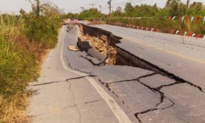
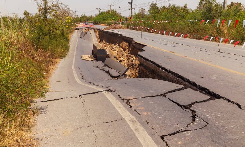
People admire bridges and buildings for their strength and design, but the real danger often lies underneath. The Hongqi collapse exposed how quickly terrain can change. Heavy rain soaked the hillside. The soil softened. The slope crept forward until cracks formed across the road. Workers rushed to close the bridge, yet the ground kept moving until the entire structure had nothing left to hold onto. The bridge didn’t fail because it was poorly built—it failed because the land gave up first.
The True Purpose of a Topo Survey
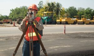
A topo survey does much more than outline elevations. It reveals how the land behaves. Every rise, dip, twist, and drainage path tells a story engineers rely on when they plan a safe project. When a project sits near slopes, creeks, or filled ground, those tiny variations in the land become critical. One overlooked weak spot can create problems that grow quietly over time, only showing themselves when it’s too late.
Why the Hongqi Collapse Applies to Columbus, Georgia
At first, the Hongqi disaster may seem like something that only happens in mountain regions. But Columbus, GA faces its own terrain challenges. Our city has creek banks that erode after storms, clay soil that expands and shrinks, and neighborhoods built on slopes that shift more than homeowners realize.
A backyard that seems sturdy during dry weather can slide after heavy rain. A driveway on a steep lot can slip just an inch at a time. A commercial pad built on fill dirt can settle unevenly, leaving cracked pavement or tilted foundations. These issues aren’t dramatic like a bridge collapse, but they cause stress, safety concerns, and expensive repairs.
How Terrain Creates Hidden Risks
Many of the problems start slowly. A slope behind a house might shift just enough to tilt a fence. A culvert under a road can wash out the soil around it. Clay-heavy soil can swell during wet seasons and shrink during dry ones, bending sidewalks or twisting foundations.
These changes happen quietly. By the time someone notices, the damage has already begun. What looks stable today might behave very differently after a few storms.
Why Topo Surveys Catch Problems Before They Grow

A reliable topo survey allows engineers to understand the land the way it truly behaves, not how it appears on the surface. It reveals pressure points on slopes, shows where water naturally wants to flow, and highlights areas where erosion may start. It also helps builders understand how nearby features—like drainage ditches, old retaining walls, or culverts—affect soil movement over time.
Instead of guessing or relying on surface-level inspections, a topo survey gives the full picture. That picture helps engineers design homes, driveways, and commercial projects that work with the land instead of fighting against it.
Real Examples of Terrain Trouble
Imagine building a home near a creek without understanding how the slope behaves during storms. At first, everything seemed fine. Then one storm softens the soil enough to start a small slide. The backyard dips. The deck tilts. The fence leans toward the water. What seemed like a harmless slope becomes a costly problem.
Or picture a parking lot built into a hillside. If the land wasn’t studied closely, the soil behind the pavement may start to shift. Over time, cracks appear, water collects, and the ground sinks. The repairs cost far more than the topo survey that could have revealed the risk at the start.
These situations follow the same pattern as the Hongqi collapse—ground movement comes first, and the structure reacts second.
Why Columbus Requires Extra Attention to Terrain
Columbus soil behaves differently depending on the weather. Clay soil expands when wet and shrinks when dry, which means foundations, driveways, and sidewalks are constantly under stress. Creeks rise quickly during storms and erode their banks faster than many homeowners expect. Even small slopes can shift if the soil reaches its saturation point.
You don’t need mountains to experience ground movement. You only need water, time, and overlooked terrain details.
A Reliable Topo Survey Builds Confidence Into Every Project
The collapse of the Hongqi Bridge showed the world that the land doesn’t follow human plans. It moves according to weather, water, and natural forces. To build something that lasts—whether it’s a bridge, a home, or a commercial site—you must understand the land first.
Topo surveys are the starting point. They give engineers the information they need to design safely. They give builders confidence that the project matches the land. And they give homeowners peace of mind that their investment sits on stable ground, not hidden risks.
The Bottom Line
Projects fail when the ground changes unexpectedly. The Hongqi collapse was dramatic, but it carries a simple message for everyone: strong structures begin with strong terrain knowledge. Before any major project moves forward, it’s crucial to understand the land beneath it. That understanding starts with a reliable topo survey—and without it, everything built on top stands on uncertainty.
