How Much Does an ALTA Survey Cost?
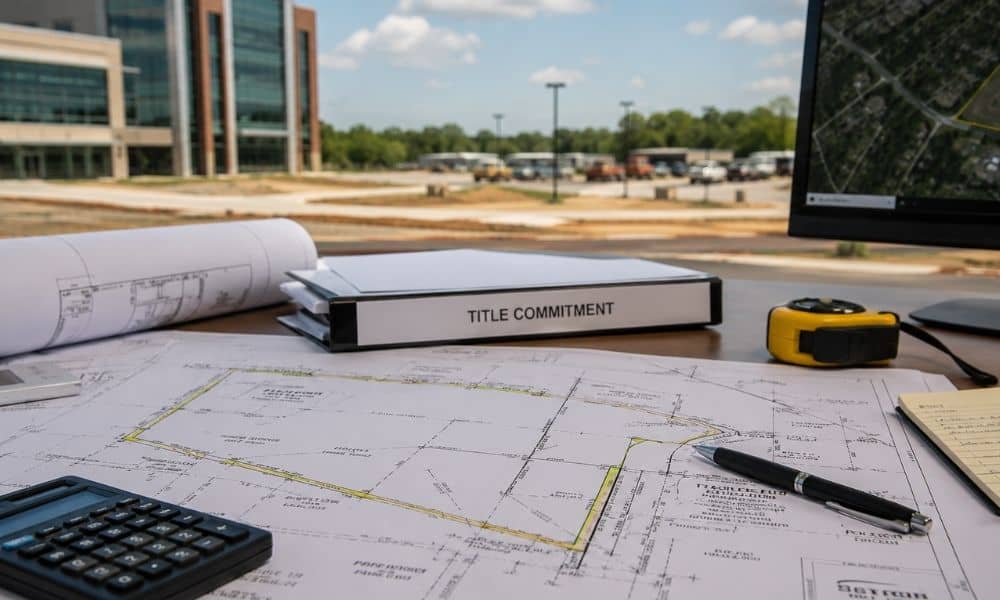
If you are planning a commercial property deal, knowing the ALTA survey cost early can save you from budget surprises. Whether you are buying in Warner Robins or another part of the state, the price depends on several factors. This guide breaks down what you can expect to pay and what drives the cost up […]
Why an Elevation Certificate Can Delay Your Final Building Approval
Most people think the hard part of construction is over once the building goes up. The walls are finished, the driveway looks great, and the project finally feels complete. Then an unexpected problem appears. This is where the question of why an elevation certificate can delay your final building approval becomes very real for many […]
Before Calling Surveyors Near Me, Have These Documents Ready
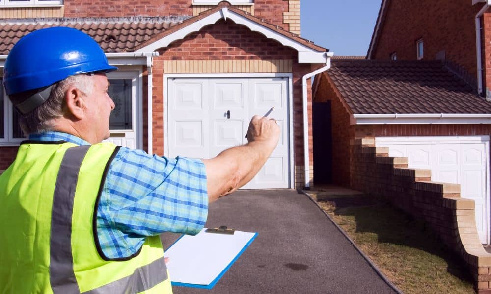
A homeowner plans to build a fence. Another wants to add a driveway. Someone else needs permit approval before construction can begin. Then the questions start. Where are the actual property lines? Will the new fence cross the boundary? Does the permit office require a survey first? That is when many people search for “surveyors […]