Why New Rules Make a Property Line Survey Essential
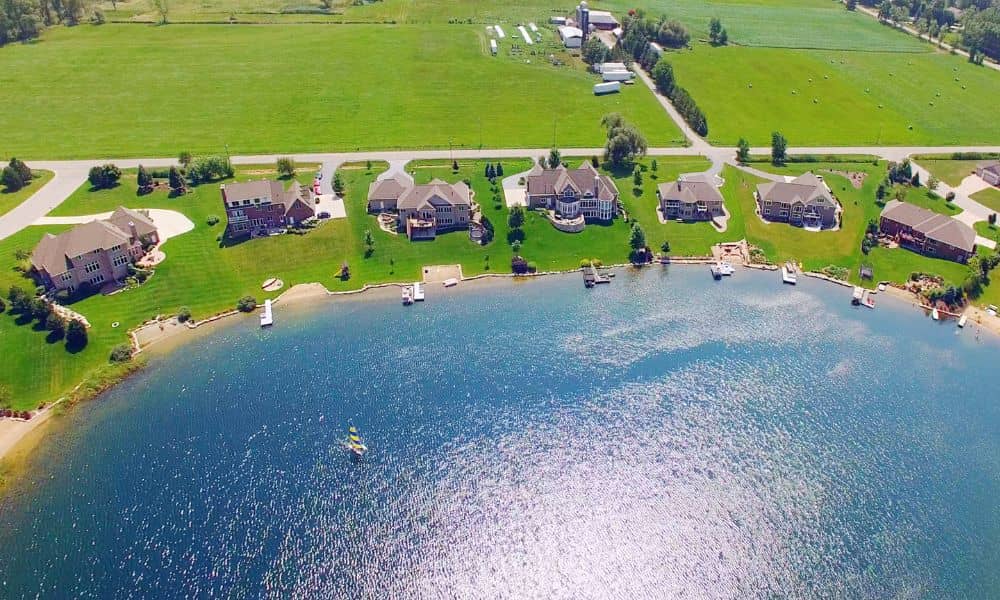
If you own a home along West Point Lake in LaGrange, you’ve probably heard about the new shoreline rules that went into effect on October 1, 2025. The U.S. Army Corps of Engineers (USACE) has rolled out the first major update to the Shoreline Management Plan since 1993, and it changes how lakefront property owners […]
Keep Closings Safe with a Flood Elevation Certificate

If you’re buying or selling a home in Warner Robins, you’ve probably heard about flood insurance. But what you may not know is how closely it connects to your closing date. Right now, the National Flood Insurance Program (NFIP) is facing a critical deadline. Unless Congress renews it by September 30, no new or renewed […]
How a Topo Survey Drives Complete Streets Overhaul

Recently, the City of Roswell, just north of Atlanta, Georgia, approved a $43,300 contract for a topo survey. This might seem like a small detail, but for those working in construction, engineering, or development across the Atlanta metro area, it’s actually a significant step. This survey kicks off the Riverside Road “Complete Streets” Project, a […]