
flood damage
How an Elevation Certificate Lowers Flood Insurance
Flood insurance in Georgia does not look the same as it did a few years ago. Many homeowners open their renewal notice and feel shocked.
Flood insurance in Georgia does not look the same as it did a few years ago. Many homeowners open their renewal notice and feel shocked.

If you’re buying or selling a home in Warner Robins, you’ve probably heard about flood insurance. But what you may not know is how closely
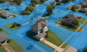
If you live in Columbus, chances are you’ve heard about flood zones. Homeowners near the Chattahoochee River, Weracoba Creek, or Lindsey Creek often get letters