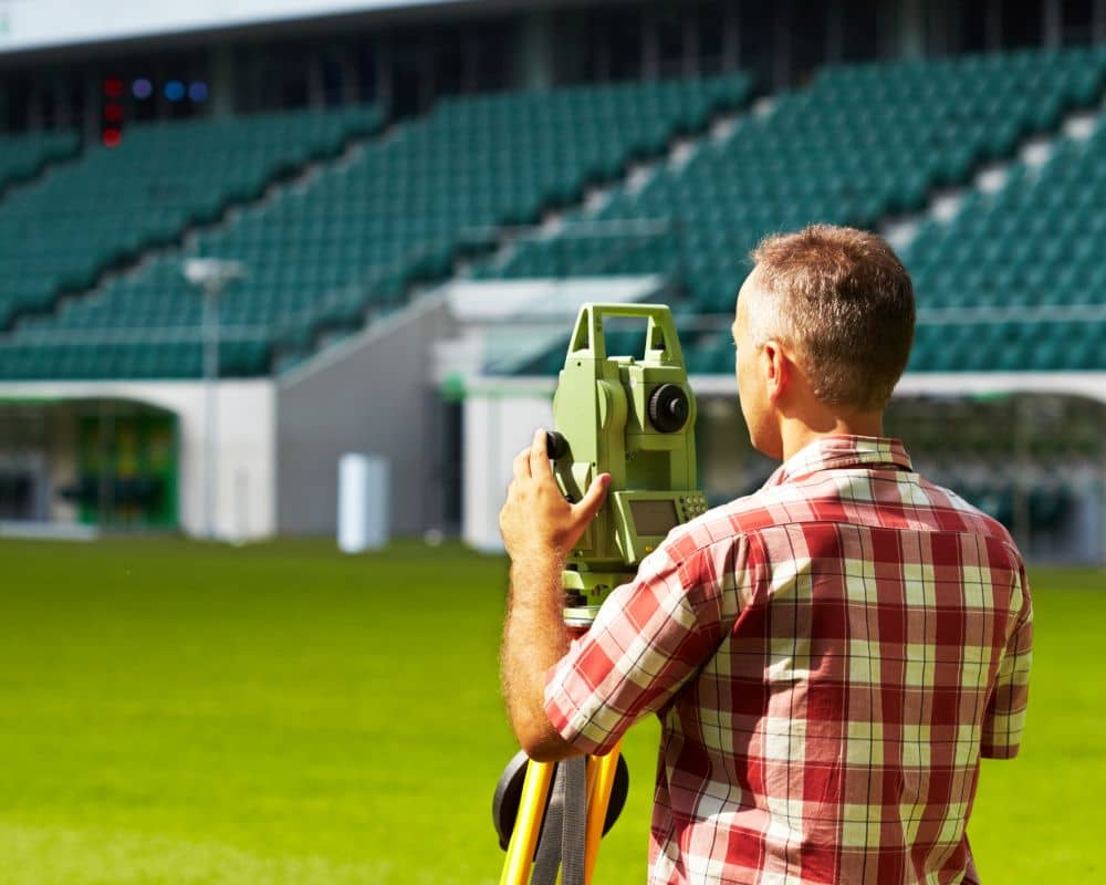
Planning a new sports facility in Columbus GA? Whether it’s a school field, public park, or private athletic complex, the first and most important step is hiring a skilled land surveyor. Getting the land surveyed properly ensures your project starts on solid ground—literally. Mistakes made early in the planning stage can lead to costly delays, legal issues, and design problems that affect performance and safety. A professional land surveyor plays a crucial role in building sports facilities the right way from the ground up. In this article, you’ll learn how surveying helps with grading, layout, compliance, and risk reduction.
Precision from the Start: Why Surveying Is the First Step
Before any concrete is poured or turf is rolled out, a survey — including detailed boundary and topographic surveys — gives you a clear, accurate map of the site.
- Surveys align your design with real-world conditions, reducing surprises during construction.
- Avoid costly redesigns by knowing exact dimensions, slopes, and boundaries from the beginning.
- Survey-based plans are more reliable than generic templates or estimates.
According to the American Sports Builders Association (ASBA), poor site planning is a top reason for delays in sports facility construction.
Grading, Drainage, and Safe Surfaces
Sports surfaces must be safe, level, and long-lasting.
- Surveyors provide precise elevation data to ensure proper grading and slope.
- Good drainage keeps fields dry and playable while preventing erosion.
- Engineers use survey models to place turf, running tracks, and courts correctly.
Without accurate slope and grading data, surface water can damage equipment or create unsafe playing conditions.
Meeting Codes and Avoiding Compliance Issues
Surveying helps ensure your project follows all rules. By working with land survey experts, you can be confident that all important requirements are addressed, including:
- Confirming setbacks, zoning regulations, and property lines
- Ensuring ADA (Americans with Disabilities Act) compliance for proper access paths and ramps
- Avoiding construction over easements, water lines, or restricted zones
This step is key in avoiding fines and costly design changes later.
Coordinating Infrastructure Like Utilities, Lighting, and Seating
A great sports venue isn’t just about the field it’s about everything around it.
- Surveys guide placement of utility lines, lights, bleachers, and irrigation systems.
- Restrooms and concessions require planning based on accurate site data.
- Survey benchmarks help architects and engineers design functional layouts that match the land.
Planning for Multi-Use and Future Growth
Most sports spaces serve more than one purpose and need to grow over time.
- Surveyors help you plan flexible layouts for different sports or events.
- Smart phasing plans help you add features later without disrupting existing ones.
- Site mapping identifies zones for future seating, parking, or courts.
This forward thinking saves time and money down the road.
Reducing Legal and Safety Risks
Errors in land use or boundaries can result in lawsuits or construction shutdowns.
- Surveyors confirm legal property lines, protecting you from neighbor disputes.
- Permits, insurance, and funding often require certified survey data.
- Accurate plans help limit liability for schools, cities, or private owners.
According to the National Recreation and Park Association, sports facilities see over 200,000 injuries per year, many related to poor planning.
Creating Winning Facilities with Survey-Backed Precision
When facilities are built to exact specs, athletes and fans benefit.
- Surveyed layouts provide perfectly aligned fields and courts.
- Designs follow regulation sizes and dimensions for official games.
- Smart site planning enhances crowd flow, visibility, and experience.
FAQs
1. Why is a land survey needed for sports fields or courts?
A land survey ensures that sports fields and courts are laid out accurately, comply with property boundaries, and have proper grading for safe play.
2. How long does a sports facility survey usually take?
The duration depends on the size and complexity of the site, but most sports facility surveys can be completed within 5 to 10 business days.
3. Are land surveys important for school and public park projects?
Yes. Surveys are crucial for both public and private projects to ensure legal compliance, safe design, and efficient land use.
4. What are the risks of skipping a land survey in sports facility planning?
Without a proper survey, projects risk construction errors, zoning violations, unsafe field conditions, and potential legal disputes over property lines.
5. Are digital site plans available for construction teams?
Modern surveying often provides digital outputs like CAD files and 3D models, which help architects, engineers, and contractors plan accurately.
6. How does surveying help with future expansion plans for sports facilities?
Surveys map current land features and available space, making it easier to plan for future seating areas, additional fields, or parking expansions without disrupting existing facilities.


