Whether you’re buying property, building a fence, or starting construction, knowing exactly where your land begins and ends is essential. In Carrollton, GA, homeowners, builders, and developers rely on a land surveyor to define property boundaries, identify elevation issues, and support permit applications. This article breaks down when to hire a land surveyor, what they do, and what to expect during the process.
When You Might Need a Land Survey
A land survey provides more than just lines on a map—it protects your investment and helps you stay compliant with local rules. You may need a survey if you’re:
- Buying or selling a property
- Building a home, garage, or fence
- Resolving a boundary issue, such as needing a property line survey in Carrollton to clarify ownership or avoid disputes with neighbors
- Preparing for construction or development
- Subdividing land or adjusting lot lines
In Carrollton, these situations often require accurate measurements and legal documentation.
What a Land Surveyor Actually Does
A licensed land surveyor uses specialized tools to measure and map your property. Their work typically includes:
- Researching records and deeds to understand your parcel history
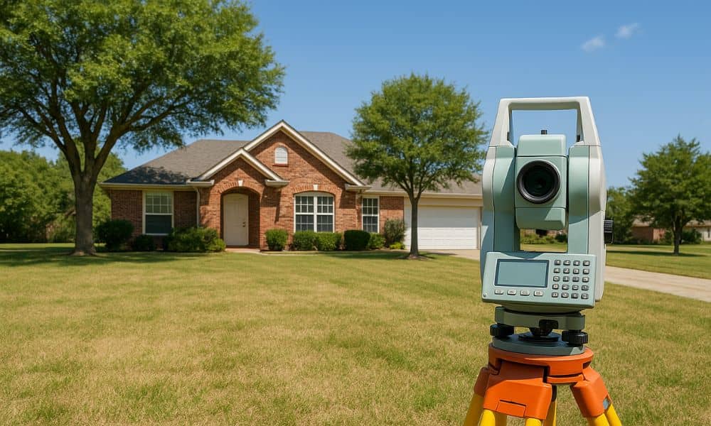
- Field measurements using GPS, total stations, and other advanced tools
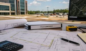
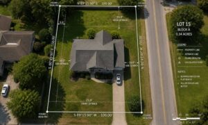
- Mapping the results into a certified drawing that shows boundaries, structures, easements, and elevation
- Delivering a survey report you can use for construction, permits, or legal documentation
Their job ensures everything built or improved on your land is properly placed and documented.
Types of Land Surveys You Might Request
Depending on your project or concern, a surveyor may perform one or more of the following:
- Boundary Survey – defines property lines
- Topographic Survey – shows elevation and land features
- Elevation Certificate – used for flood zone planning and insurance
- ALTA/NSPS Survey – detailed survey often used in commercial real estate
- Construction Staking Survey – used to guide builders during construction
- Subdivision or Lot Split Survey – prepares land for legal division or consolidation
Your surveyor will recommend the right type for your needs.
How the Surveying Process Works
Here’s what you can typically expect from start to finish:
- Initial consultation – discuss your goals and receive a quote
- Document review – your surveyor will research plats, deeds, and zoning maps
- Fieldwork – they’ll visit the site to take precise measurements
- Drafting the survey – the data is turned into a certified map
- Final delivery – you’ll receive a report for your records, permit, or legal needs
Many projects in Carrollton also require survey data as part of the building or zoning permit process.
Choosing a Qualified Land Surveyor in Carrollton
Not all surveyors are the same. It’s important to choose a licensed, experienced land surveyor who is familiar with Carroll County property laws and terrain. Before hiring, ask:
- Are you licensed in Georgia?
- What type of survey do I need?
- How long will it take?
- What will the final report include?
A good surveyor will explain the process clearly and provide a timeline that matches your project.
Conclusion: Start With Confidence
A land surveyor in Carrollton GA does more than measure your land—they help protect your property rights, avoid costly mistakes, and move your project forward. Whether you’re buying, building, or planning, start with a clear understanding of your land by hiring a trusted professional.
Frequently Asked Questions
1. How long does a land survey take in Carrollton, GA?
Most surveys take 1–3 weeks, depending on the size of the property and type of survey needed.
2. Is a land survey required when buying a home?
It’s not always required, but it’s highly recommended—especially if boundary issues or improvements are involved.
3. What should I bring to my initial survey consultation?
Bring your deed, property map (if available), and any questions about your project.
4. Will a survey show easements or encroachments?
Yes. A survey can identify easements, fences, structures, or driveways that cross into or out of your property.
5. How much does a land survey cost in Carrollton?
Costs vary based on property size and survey type but usually range from $400 to $1,500.