
Typing “property surveyor near me” sounds quick and easy. You search, call a few numbers, and expect the job to get handled.
In Ringgold, it rarely works out that simply.
Land here has its own quirks. Clay-heavy soil shifts when it dries out or gets saturated. Drainage doesn’t always follow clean lines. Older parcels don’t always match what’s written on paper. With steady growth across Catoosa County, you end up with a mix of old boundaries and newer development that don’t always line up.
After a while, most people realize it’s not just about getting someone out to measure the property. It’s about finding the right surveyor, someone who knows how to read the land and spot issues before they turn into bigger problems.
Ringgold Properties Require More Than Basic Measurements
A lot of people expect a survey to be a simple measurement job. That assumption causes problems.
In this part of Georgia, the ground itself can move enough to throw off expectations. After heavy rain, low areas collect water differently. Sloped lots don’t behave the same way as flat suburban parcels. Over time, visible features shift just enough to confuse where lines should be.
That creates situations where what you see on the property doesn’t match what’s recorded.
A surveyor working in Ringgold has to deal with that gap. It’s not just about finding corners. It’s about confirming what still holds true and what no longer does.
Why Timing Matters More Than People Think
Most people don’t start searching for a property surveyor near me until something forces the issue.
A fence goes up in the wrong place. A buyer asks for updated documentation. A builder needs layout work before starting. By then, the clock is already ticking.
That pressure leads to rushed decisions.
In Ringgold, delays often come from details that take time to sort out. Old markers might be buried or missing. Previous surveys might conflict with current conditions. Nearby development might have changed how the land drains or is used.
When you start early, you have time to resolve those issues properly. When you wait, you’re stuck reacting to them.
Local Growth Is Quietly Changing Property Lines
Ringgold isn’t standing still. More homes, more improvements, and more land changes are happening across the area.
That growth creates subtle problems.
Grading work changes elevations. New driveways redirect water. Adjacent properties get cleared or built on. Over time, these changes affect how boundaries are understood on the ground.
A property line that seemed obvious years ago can become unclear.
This shows up during surveys when physical features don’t match recorded data. It’s one of the reasons newer surveys often reveal things owners didn’t expect.
Older Surveys Don’t Always Reflect Today’s Conditions
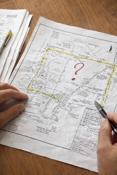
It’s common for property owners to rely on an old survey. If it exists, it feels like enough.
The problem is time.
Corners get disturbed. Land gets reshaped. Neighboring lots change hands and sometimes get adjusted. Standards for surveys have also improved, which means older documents may lack details now considered necessary.
In Ringgold, that gap between old records and current conditions shows up more often than people realize.
Even if the legal boundary hasn’t changed, the physical reality might not match what’s on paper anymore.
The Type of Survey Matters More Than the Search Term
Searching “property surveyor near me” doesn’t tell the surveyor what you actually need.
That leads to confusion from the start.
A homeowner dealing with a fence issue needs something very different from a builder preparing for construction. A buyer closing on a property needs different documentation than someone planning drainage improvements.
If the scope isn’t clear, the work may not solve the problem.
That’s why it helps to think about the end goal first. Once that’s clear, the survey can be matched to it properly.
HOAs and Permitting Add Another Layer
Some parts of Ringgold fall under HOA rules or stricter permitting requirements. That changes what’s expected from a survey.
You might think you’re handling a simple project, but the moment paperwork is reviewed, more detail is required.
Missing measurements or incomplete data can slow things down. In some cases, it means redoing the survey entirely.
That’s not a technical failure. It’s a planning issue.
Getting clarity upfront saves time and avoids repeat work.
Choosing the Right Surveyor Changes the Outcome
Not all surveyors approach a job the same way.
Some focus on speed. Others focus on detail. In an area like Ringgold, detail matters more.
A surveyor familiar with local conditions will spot issues early. They’ll recognize when drainage affects boundaries or when older records need closer review. They’ll also know how to align the survey with what comes next, whether that’s construction, permitting, or a property transfer.
That kind of experience doesn’t show up in a quick online search.
It shows up in how the work holds up after it’s done.
Where This Fits With Other Survey Needs
If you’ve looked into related topics, you’ve probably seen how different survey types handle different problems.
Boundary issues often need deeper verification than expected. Construction projects rely on more than just property lines. Drainage concerns tie into topographic data.
All of it connects.
Topics like boundary survey helps avoid legal disputes or topographic survey before construction planning build on the same idea. Accurate information early keeps everything else on track.
A Better Way to Approach Your Search
Instead of treating “property surveyor near me” as a quick task, treat it as the starting point.
Think about what you’re trying to solve. Look at the condition of the property. Consider how recent your existing information is.
Ringgold properties come with their own set of variables. Soil movement, drainage shifts, and ongoing development all play a role in how accurate your data needs to be.
A survey done right gives you a clear picture before decisions get expensive.
If you’re unsure where things stand, bringing in a local surveyor early can help you move forward with confidence instead of guesswork.