If you’ve ever lived in a neighborhood with tall old trees and unclear property lines, you know how quickly peace can turn into property disputes — especially when a tree falls. In Georgia, where summer storms and aging oaks are common, fallen tree damage can spark more than just cleanup bills. It can ignite legal questions, insurance headaches, and neighborly tension. That’s where a boundary survey can bring clarity and resolution.

A Real-Life Scenario in Georgia
Picture this: After a thunderstorm in Macon, a massive pine tree crashes down onto a neighbor’s garage. No one is hurt, but the structure is heavily damaged. The problem? There’s no fence, no recent survey — and both homeowners insist the tree belonged to the other. One says it grew from the edge of their yard; the other claims it was over the line. Without proof, things quickly escalate.
Who’s responsible for the damages? Will insurance cover it? Can either party be held legally accountable?
Why Boundary Surveys Matter in Tree Disputes
A boundary survey is a legal tool that maps the exact lines between properties. When trees sit near the edge of two lots, determining who owns what becomes crucial in cases of damage or liability. In Georgia, the law generally assigns responsibility for a fallen tree based on ownership and negligence. But if no one knows whose land the tree was on, everything else becomes guesswork.
Here’s how a boundary survey helps resolve — or even prevent — the drama:
- Confirms Property Ownership: If the base of the tree was on your neighbor’s land, it’s likely their responsibility.
- Clarifies Liability: If a tree was dead or leaning and the owner ignored it, they may be liable — but only if it was on their property.
- Helps With Insurance Claims: Insurers often require clear proof of property lines when evaluating who’s at fault or whether a claim will be paid.
- Prevents Repeat Issues: If one tree causes damage, others may be at risk. A survey helps identify potential future problems.
Georgia’s Tree and Property Line Laws
Georgia property law does not automatically hold tree owners liable when a healthy tree falls due to natural causes. However, if a tree is visibly dead or hazardous and the owner fails to act, they could be held responsible for resulting damage. But again, it all hinges on where the tree was rooted — and that’s where survey data becomes essential.
In cities like Athens, Augusta, and Savannah, where older homes and mature trees are the norm, these disputes are more common than many realize. Boundary surveys are often required when selling a home, installing a fence, or applying for building permits — but they’re just as important when resolving neighborhood conflicts.
What a Boundary Survey Includes
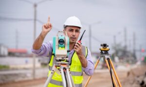
A licensed land surveyor in Georgia will:
- Examine property records, plats, and deeds
- Use tools like GPS and total stations to mark precise boundaries
- Provide a legal map with property corners, lines, and any encroachments
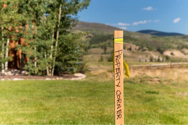
- Place physical markers along the boundary line
This documentation is admissible in court and can be shared with insurers or city officials.
When to Get a Boundary Survey

- Before Building a Fence or Structure
- After Storm Damage Raises Ownership Questions
- If You Inherit or Buy Land With Unclear Lines
- During Neighbor Disputes Over Trees or Encroachments
A survey isn’t just for major developments — it’s for peace of mind. And in Georgia, where tree roots grow deep and neighborly disagreements can surface fast, that peace is priceless.
Clear Lines, Better Neighbors
If a tree has fallen and tensions are rising, don’t rely on guesswork or hearsay. A boundary survey offers a factual, legal solution that can save relationships — and costly court battles. Whether you’re in rural Hall County, the suburbs of Atlanta, or a small town in North Georgia, knowing where your property begins and ends is one of the smartest investments you can make.
Need clarity on your property lines? Talk to a licensed land surveyor in Georgia today and take the first step toward resolving tree-related disputes the right way.


