Lidar Mapping After the National Debate: What Changed
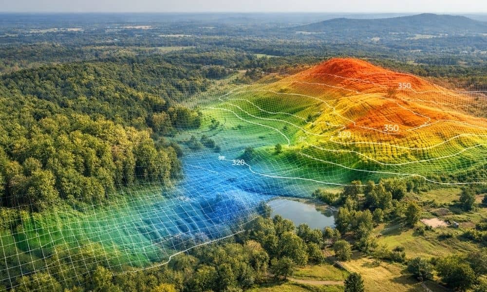
Over the past few weeks, LiDAR has been in the national news. Stories showed how laser mapping found hidden cities under thick forests. At the same time, experts started talking about something bigger — who owns mapping data, how people use it, and what happens when someone reads it the wrong way. At first, that […]
Why AI Mapping Is Reshaping Surveying Companies
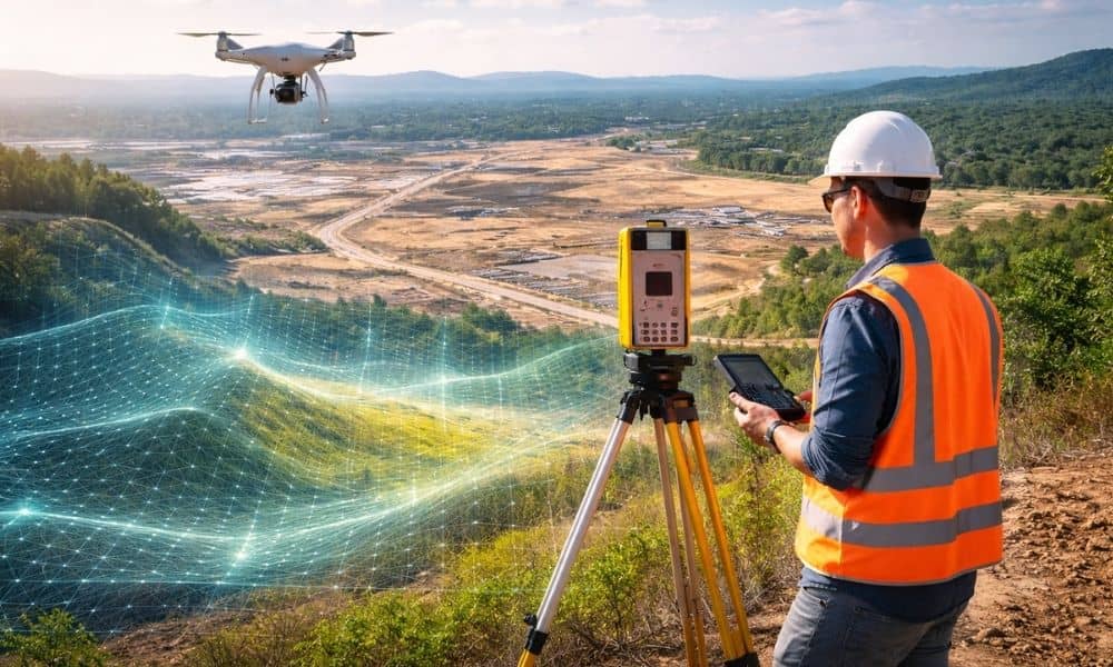
Georgia is growing fast. New subdivisions stretch across former farmland. Warehouses rise near highways. Small towns like Ringgold feel the pressure of steady development. Because of that growth, land decisions now move quicker than ever. Developers cannot afford to wait weeks just to understand a piece of property. At the same time, new technology has […]
Civil Engineer Explains What Caused This Highway Collapse
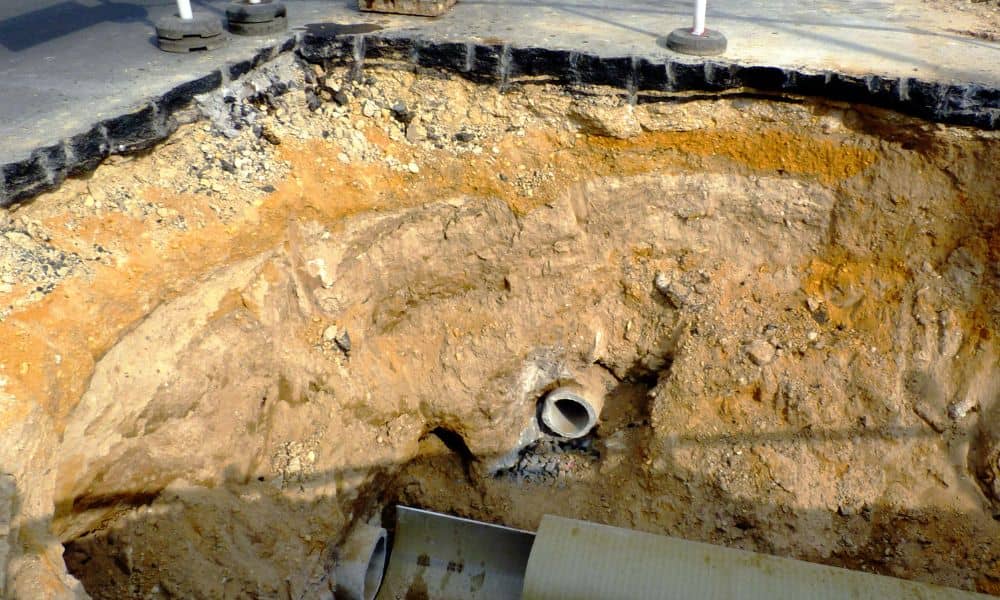
When a major highway suddenly shuts down, most people assume something dramatic happened on the surface — a crash, a landslide, or a construction error. However, in a recent viral case, the real cause started underground. A damaged water main slowly weakened the soil below the road until the pavement could no longer hold the […]