In the past week, the tech world buzzed with news that a few smartphone makers—like MediaTek and Xiaomi—are rolling out phones that can supposedly measure land within millimeters of accuracy. They’re using new RTK (Real-Time Kinematic) GPS systems, the same kind that professional surveyors have relied on for years. Suddenly, people are asking: If my phone can do that, do I still need a surveyor? The short answer is yes. Even with all that tech power, a phone can’t replace an ALTA Land Title Survey, especially if you’re buying, financing, or developing property. These surveys are not just about measuring; they’re about proving, documenting, and protecting your investment.
The Hype Around “Millimeter GPS”
The idea of your phone being as accurate as professional equipment sounds amazing. MediaTek claims its new GPS chips can pinpoint a location down to a couple of centimeters. But here’s what the headlines don’t tell you: that precision only works in perfect conditions.
For example, RTK signals rely on a clear line of sight to satellites and local correction stations. If you’re under tree cover, near buildings, or standing in rolling hills, your accuracy drops fast. Even a cloud or a metal roof can throw off readings.
Surveyors deal with this every day. They don’t just record numbers—they understand terrain, correct distortions, and double-check data with legal boundaries. Phones can’t do that yet, and maybe never will.
What Makes an ALTA Land Title Survey Different

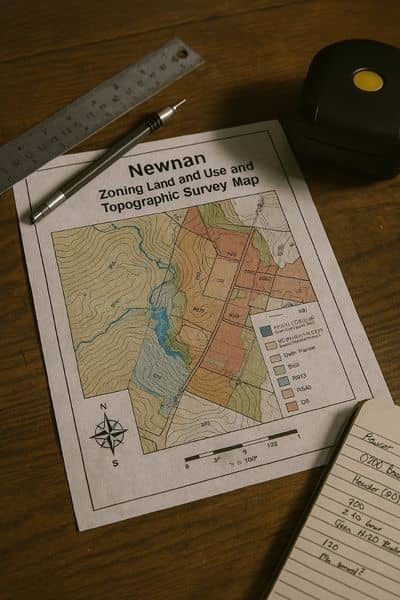
An ALTA Land Title Survey is the gold standard in real estate mapping. It’s not just a map of your property lines—it’s a legal document prepared under the American Land Title Association (ALTA) and National Society of Professional Surveyors (NSPS) standards.
Here’s why that matters:
- It confirms exact boundaries based on both physical markers and legal descriptions.
- It identifies easements, encroachments, and access rights that affect how land can be used.
- It’s reviewed by lenders and title companies to confirm that what’s on the ground matches what’s on paper.
A phone GPS can show you where a fence seems to be. An ALTA survey proves where your property legally begins and ends. That difference can protect you from expensive mistakes—like building on someone else’s land or losing title coverage during closing.
Accuracy Alone Isn’t Enough
A lot of people assume that if a phone’s GPS can measure precisely, that’s all that matters. But in land surveying, accuracy and authority are two different things.
Only a licensed land surveyor can legally define property boundaries. That’s because property law, not just measurement, is involved. Every ALTA Land Title Survey is signed and sealed by a professional who carries liability for their work. If something goes wrong—say, a neighbor claims your fence is on their land—your surveyor’s record can stand in court. Your phone reading? It’s not even admissible.
In short: a surveyor’s data has legal weight. Your phone’s data is just a digital guess.
Where Smartphones and Drones Can Actually Help
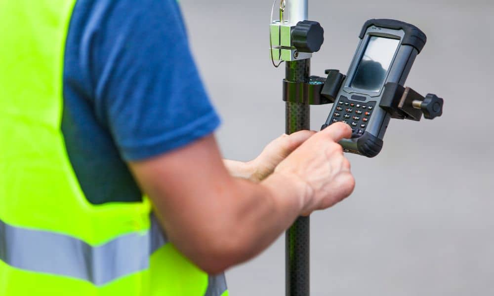
Now, to be fair, modern tech isn’t useless. Surveyors are already using drones, GNSS receivers, and yes, even RTK-enabled phones—to support field work. Technology can make data collection faster, but it still depends on a professional to interpret it correctly.
For example, a surveyor might use drone imagery to create a topographic survey or to monitor construction progress. They might use a smartphone RTK device to check corner points or confirm a tie-in for a construction staking survey.
But here’s the key difference: the tech works with the surveyor, not instead of them.
Why It Matters for Property Owners
Newnan and Coweta County have seen fast growth over the past few years. Commercial development, new subdivisions, and lot recombinations are becoming common. With so many projects happening side by side, a few feet of error can mean a huge headache later.
Imagine buying land near the city’s edge, trusting a phone app’s reading for your boundary, and later discovering your planned driveway cuts into a neighbor’s parcel. That small “measurement error” could cost thousands to fix—or delay your building permit entirely.
ALTA surveys prevent those issues before they happen. They link ground data with legal documents, title records, and easements. They also uncover problems that GPS alone could never show—like overlaps in ownership or undocumented access paths that affect financing.
The Legal and Financial Edge You Can’t Get from a Phone
When you order an ALTA Land Title Survey, you’re not just buying a measurement—you’re securing documentation that lenders, insurers, and county offices recognize.
- Lenders rely on ALTA surveys to verify property value and loan security.
- Title companies require them to confirm that no hidden encroachments exist.
- Developers use them to plan designs around easements and setback limits.
None of that can be replaced by even the most advanced smartphone GPS.
If you’re preparing for a loan closing survey or refinancing a commercial lot, a certified ALTA survey is a must. Without it, banks can delay funding or reject documentation.
The Human Skill Behind the Numbers
Surveying isn’t just about collecting coordinates—it’s about interpreting them. Professional surveyors know how to read historical plats, reconcile mismatched records, and spot patterns that technology can’t.
For example, two deeds might overlap by a foot. A GPS unit can’t resolve that conflict. A surveyor, however, can trace the legal descriptions back through multiple ownerships to find the original monument and make a defensible decision.
So, while a smartphone can show you where, a surveyor can explain why.
What to Do Before You Rely on Tech
If you’re thinking of buying or developing property, here’s the smart approach:
- Use tech as a planning tool, not as proof. Apps and devices are fine for estimating.
- Hire a licensed surveyor early. They can guide you on the type of survey you need—whether it’s boundary, topographic, or ALTA.
- Share data, don’t replace it. Your surveyor can integrate drone or RTK data into the final certified survey.
That way, you get both speed and legal certainty.
Final Thoughts
The next wave of smartphone GPS technology is exciting. It shows how far mapping tools have come and how accessible precision data is becoming. But property ownership isn’t about convenience—it’s about confidence.
In a place like Newnan, where development is booming and every inch of land matters, a certified ALTA Land Title Survey is still your best protection. It connects high-tech precision with the one thing no device can offer: legal assurance.
Before you trust your phone to define your property, trust a professional to protect it. Call a local licensed surveyor and get the clarity your investment deserves.


