If you are planning a fence, adding a shed, or simply want clarity about where your land begins and ends, a property line survey is a smart step. Still, many homeowners assume the surveyor handles everything without any help. In reality, a little preparation on your side makes the process smoother, faster, and far less stressful.
Why Preparing for a Property Line Survey Matters
A property line survey shows the legal boundaries of your land. Surveyors rely on records, measurements, and what they find on the ground. When access is blocked or details are missing, the work takes longer.
More importantly, preparation helps avoid confusion. When homeowners understand the process, the final results make more sense. As a result, questions get answered early instead of after the work is done.
Gather Any Property Information You Already Have
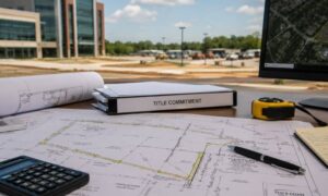
Before scheduling your property line survey, look for any documents tied to your property. Even older records can still be helpful.
Start by checking for your deed, any previous survey, or closing paperwork from when you bought the home. If your property is part of a subdivision, lot or block information can also help.
If you cannot find these documents, do not panic. Surveyors can still complete the job. However, having them ready often saves time and reduces back-and-forth during the process.
Walk Your Property Before the Surveyor Does
Next, take a walk around your yard. This step helps you see your property from a fresh point of view.
Pay attention to fence lines, tree rows, hedges, driveways, and any structures close to the edge of your yard. Sheds, patios, or retaining walls near corners are especially important to notice.
Even though these features may look like boundaries, they are not always accurate. Still, noticing them helps you better understand the survey results later.
Clear Light Obstructions When You Can
Surveyors need clear lines of sight to measure accurately. Overgrown areas can slow things down. Because of that, light clearing often helps.
You can trim tall grass, cut back small brush, and remove debris near fence lines or corners. These small efforts make it easier for the surveyor to do their work.
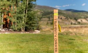
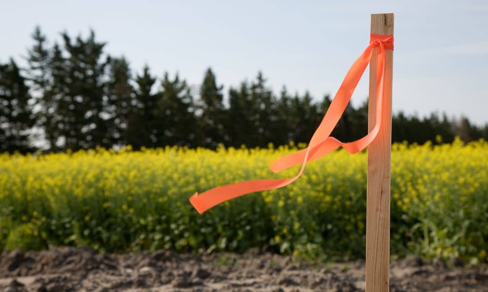
However, never remove or disturb survey markers. Iron pins, wooden stakes, or flagged markers must stay exactly where they are. Moving them can cause confusion and delay the survey.
Make Access Easy on Survey Day
Access issues cause many delays during a property line survey. Even small obstacles can slow the work.
Before survey day, unlock gates, secure pets, and clear paths to fenced or rear areas of your property. If you rent out part of your home or share access with others, let everyone know the surveyor will be there.
In some cases, the surveyor may need limited access near neighboring properties to confirm corners. When access is open and expectations are clear, the survey usually moves along without issues.
Understand What to Expect During the Survey

Many homeowners expect instant answers or same-day drawings. In most cases, that does not happen.
On survey day, you may see equipment, flags, or stakes placed in the ground. These markings help the surveyor gather field data. The final drawing usually comes later, after records are reviewed and measurements are confirmed.
Knowing this ahead of time helps set realistic expectations and prevents frustration.
Avoid Common Assumptions That Lead to Confusion
Several assumptions often cause problems during a property line survey.
Many homeowners believe fences always mark boundaries. Others trust online maps or assume old markers are always correct. Some think preparation does not matter at all.
In reality, fences often follow convenience, not legal lines. Online maps show estimates, not exact boundaries. Markers can shift over time. Preparation always plays a role in a smooth survey.
Review the Results Carefully Once the Survey Is Complete
After the survey is finished, take time to review the results. Walk your property again and compare the marked lines with visible features like fences or driveways.
If something looks different than expected, ask questions right away. Surveyors expect follow-up questions, and early clarification helps avoid confusion later.
This step is especially helpful if you plan to build, install fencing, or make changes near your property line.
A Simple Way to Stay Organized
Preparing for a property line survey does not need to feel overwhelming. Think of it as a short process rather than a long checklist.
Gather what you have, walk your property, clear light obstructions, make access easy, and know what to expect. These steps take little time but make a big difference.
Final Thoughts for Homeowners
A property line survey does more than draw lines on paper. It gives you clarity and peace of mind. When you prepare ahead of time, the process feels easier to understand and far less stressful.
Whether you are planning a project or simply want to know where your land ends, preparation puts you in control. Taking a little time before the surveyor arrives helps ensure accurate results and a smoother experience overall.
Of course, preparation is only part of the picture. The experience also depends on who you work with. A land survey company that takes time to explain the process, answer questions, and walk you through the results can make the entire survey feel straightforward instead of confusing. When preparation and good communication come together, protecting your property becomes much easier.